
Projects
California Creek Restoration
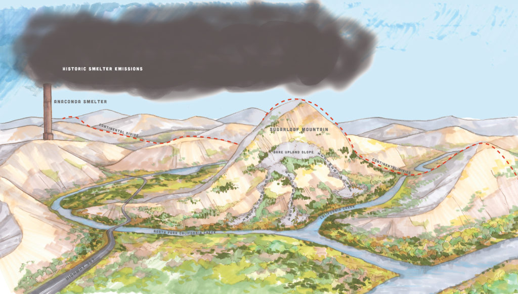
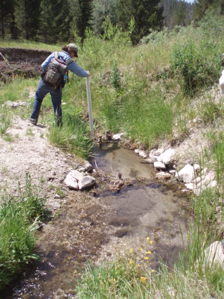
The California Creek Restoration project, completed in 2017, addressed sediment pathways from source to stream, enhancing the ability of the landscape to both retain sediment on slopes as well as deposit excess sediment on the floodplain. The entire project area was assessed and priority areas were selected for both upland and riparian area treatment.
Area History
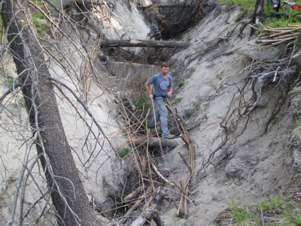
Aerial emissions from early 20th-century smelting activities in Anaconda, together with extensive logging activities to fuel the smelters, have left areas in the Mt. Haggin Uplands (RDU 15) of the Anaconda National Priorities List (NPL) site in a highly degraded state. Some soils in the Mt. Haggin uplands are highly erodible volcanic tuff material, which, due to mining and logging impacts, have eroded off the mountain over time and formed large gullies that transport upland sediments directly into nearby California Creek, and its main northern tributary, the North Fork (NF) of California Creek. That sediment travels downstream into French Creek, Deep Creek, and the Big Hole River in what local residents have observed as a white plume in the Big Hole River that is visible for several miles downstream.
Results
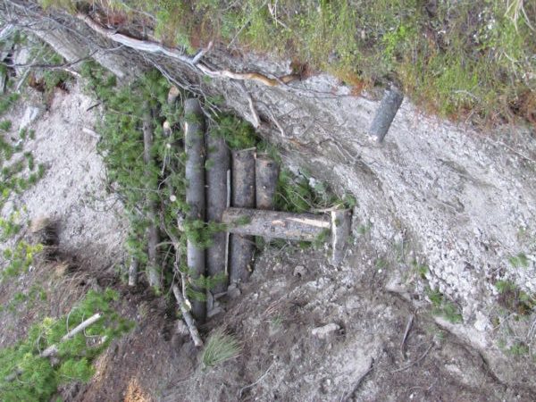
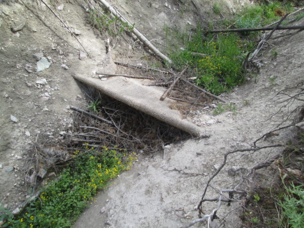
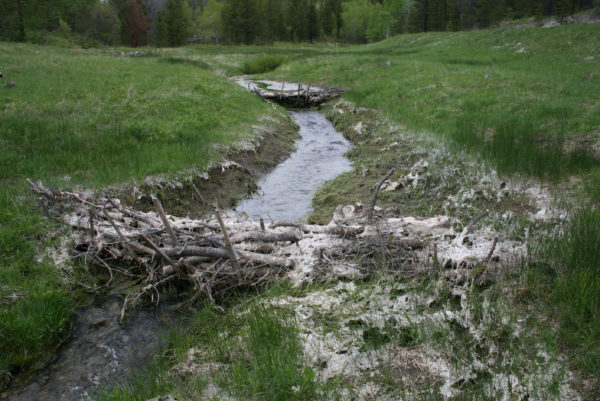
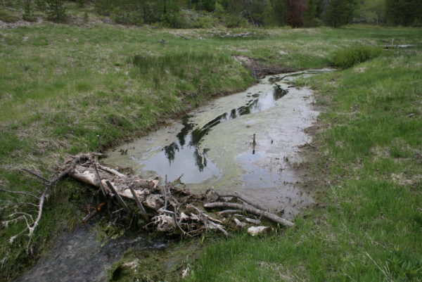
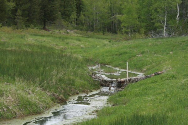
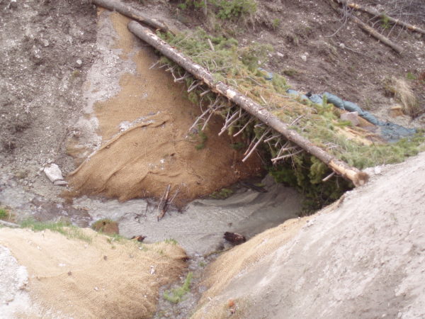
300 beaver mimicry structures installed over 2 miles of intermittent streams
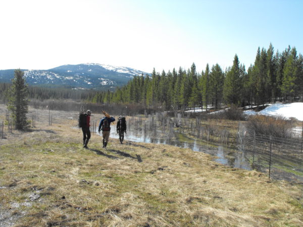
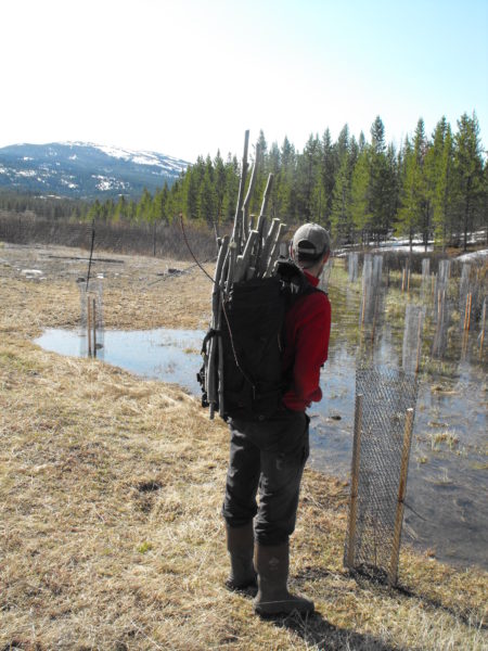
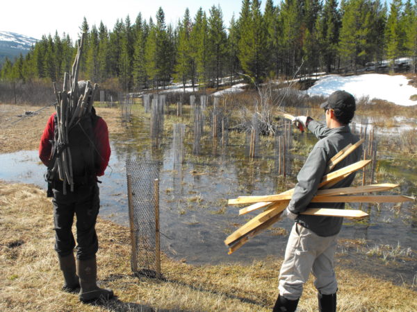
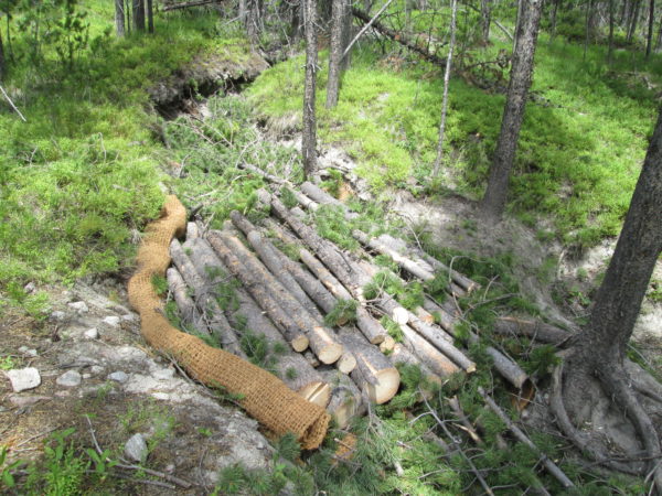
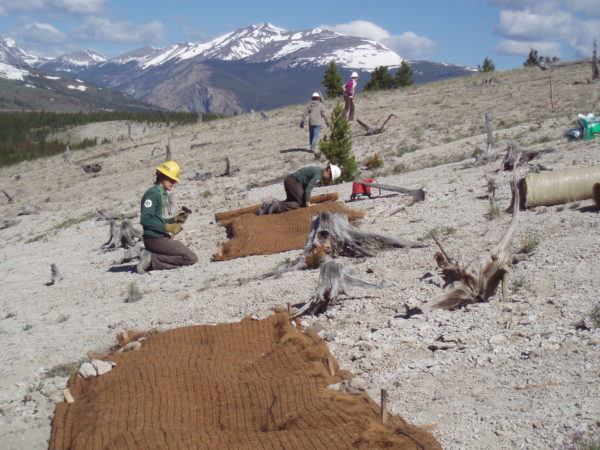
8.5 acres of degraded floodplain enhanced through riparian planting and fluvial connectivity
Over 2000 plantings and 4000 willow stakes installed
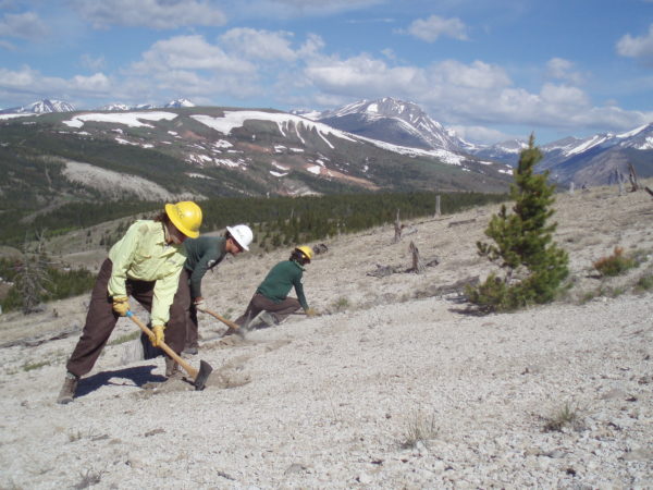
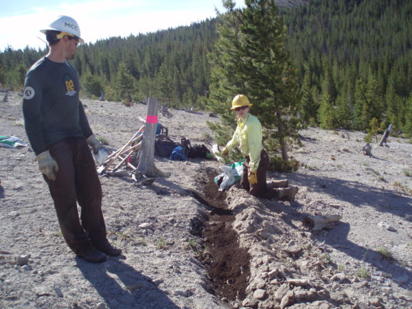
12 acres of upland areas enhanced with erosion control BMPs
35 acres of aerial fertilization to enhance upland vegetation
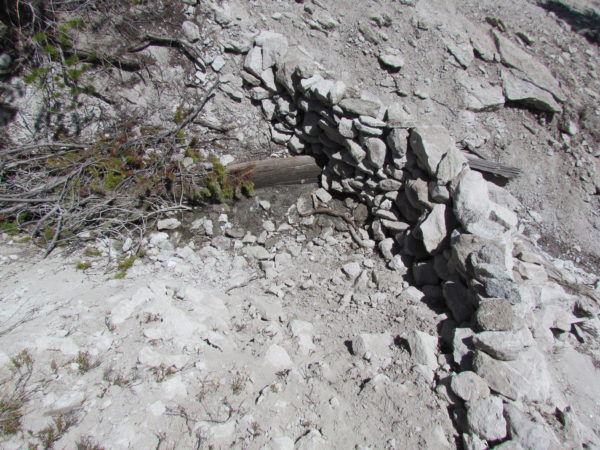
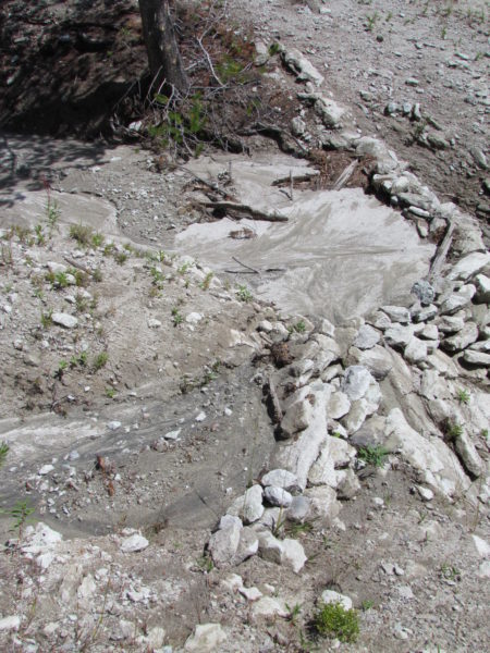
4 miles of upland gullies treated with check dam BMPs
3 large engineered rock check dams 260 Cu. yds sediment catchment installed
BMP techniques and per-unit costs established for scaling to larger projects.
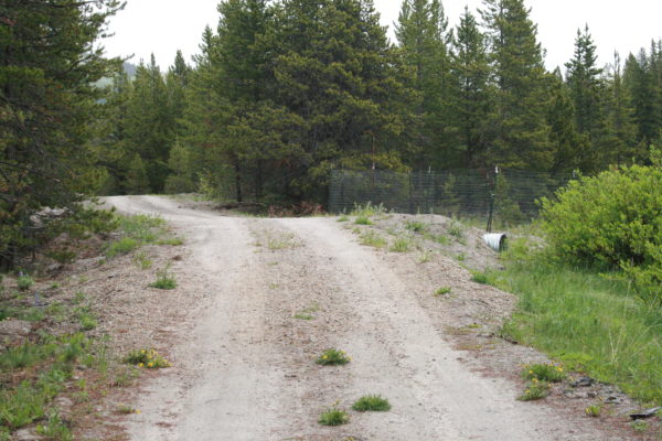
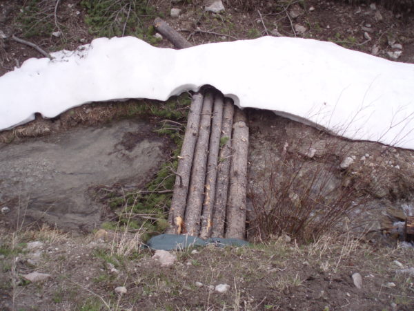
2 new culverts installed to manage road sediment
1 failed in-stream culvert removed and streambank re-graded, planted
People & Organizations Involved
Montana Department of Environmental Quality
Montana Fish, Wildlife and Parks
Natural Resource Damage Program
Project Photos
Project MAP
Status
Completed
Type
Streambank/Sedimentation