Projects
French Gulch and Moose Creek Restoration
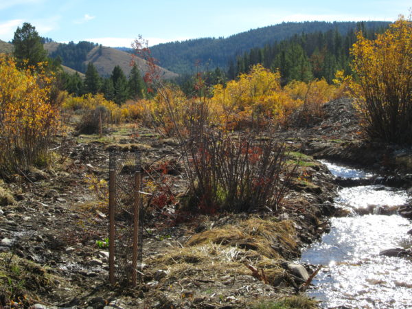
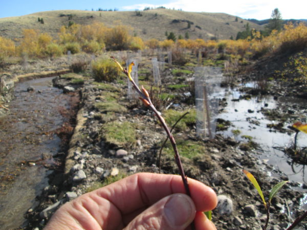
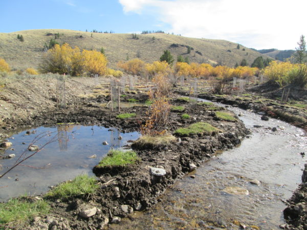
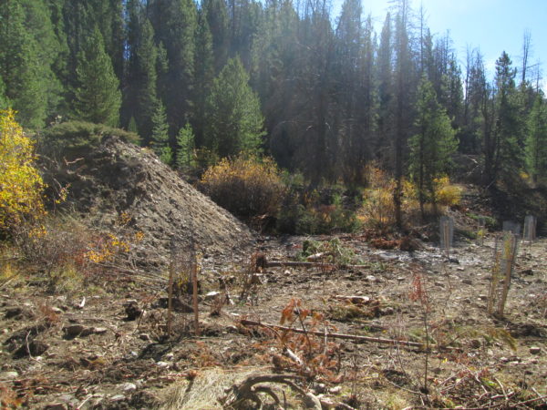
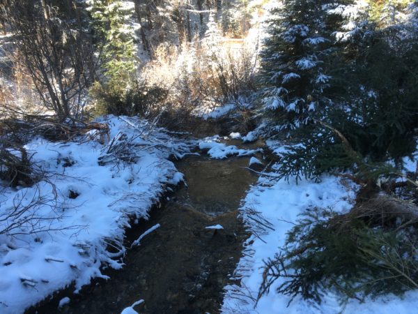
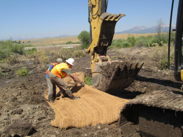
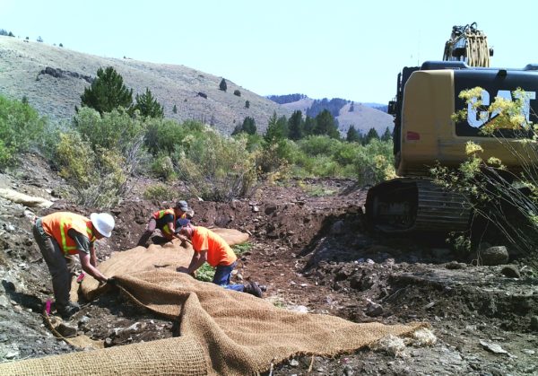
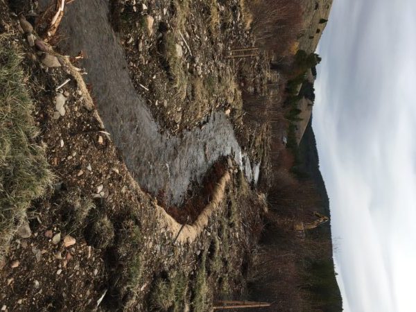
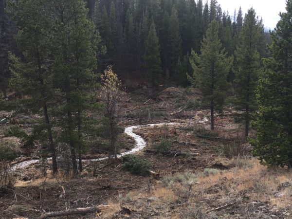
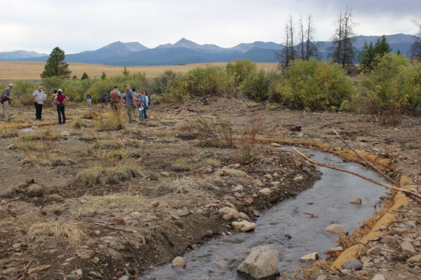
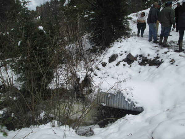
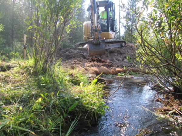
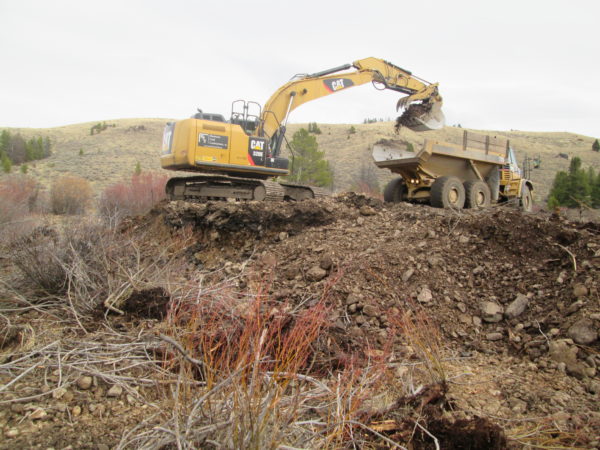
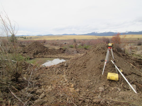
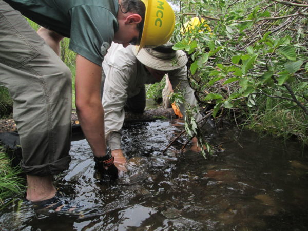
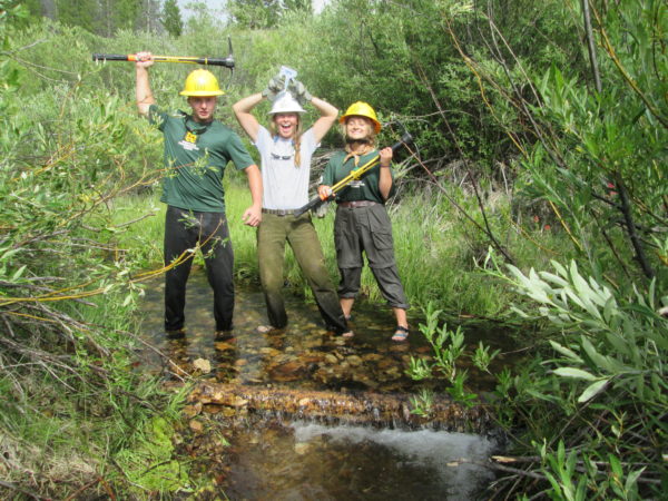
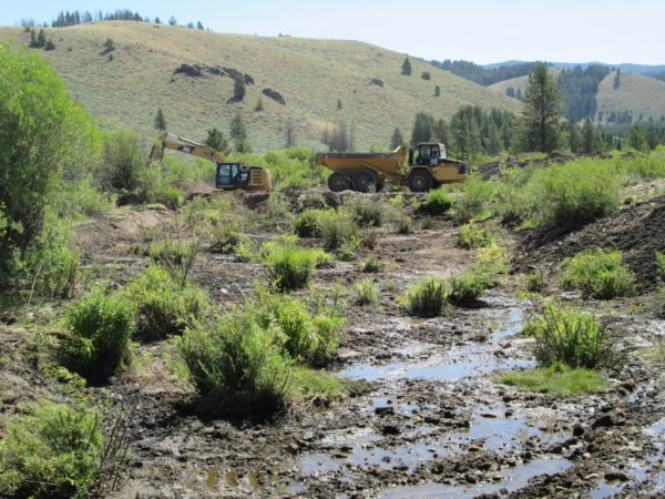
Extensive placer mining in the French Gulch drainage beginning in the 1860’s left over 3 miles of French Gulch, in the upper Big Hole River watershed, in a highly degraded state. The stream was straightened, disconnected from its floodplain, and providing minimal fish and wildlife habitat. The objective of the French Gulch & Moose Creek Restoration Project was to remove placer tailings from the floodplain, reestablish natural stream meanders, and reconnect floodplain and wetlands to reduce sedimentation in French Creek. This project was completed ahead of schedule and under budget, with a total cost of about $1.3 million. It took multiple years of planning by BHWC and partners, who pulled together 7 different funding sources. The project was completed in 2017.
Visit our YouTube channel for more project videos.
Area History
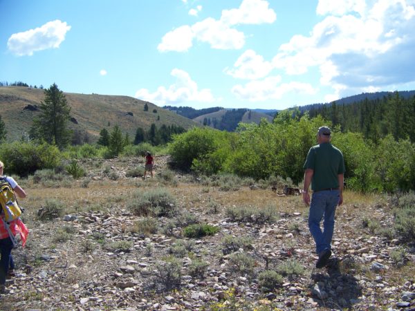
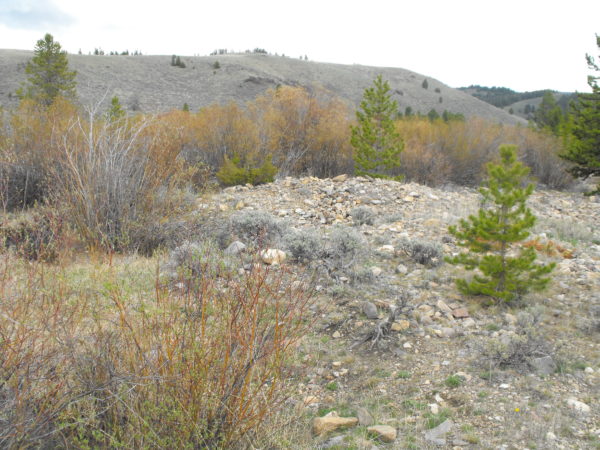
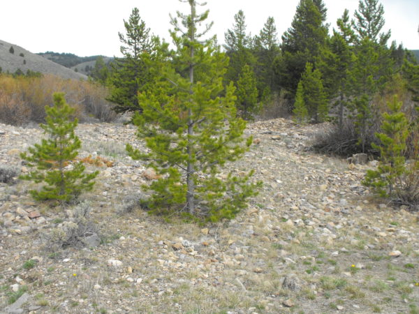
The first gold strike in the Big Hole occurred here at French Gulch in 1864, resulting in the formation of the French Gulch community until it was abandoned in 1902. W.R. Allen, who later became Lieutenant Governor, was born in French Gulch and later purchased the lands. Widespread mining occurred over a 70 year period across the area that is now the Mount Haggin Wildlife Management Area, using placer mining techniques to search for gold and silver in the many tributaries. Evidence of this activity remains present with piles of placer rock, disturbed stream habitat, and evidence of occupancy with cabins and debris that can be found throughout the area.
While the town of French Gulch searched for metals on Mount Haggin, nearby Butte was growing their search for gold and later and most extensively, copper. The copper subsequently needed to be smelted, which began with small smelters in Butte and later moved to the large and iconic Anaconda Smelter just a few miles from Mount Haggin. The smelter needed fuel and the mines needed lumber, which was provided by timber from what is now the Mount Haggin WMA. Flumes were constructed to and streams diverted in order to float logs down off the hills. As the smelter operated, contaminated emissions filtered down to the ground that contained arsenic, copper, lead, zinc, and cadmium, which proved toxic to the plant life of the WMA. Combined with extensive logging,smelter emissions resulted in large scale erosion of loose volcanic tuff soil, which drastically reduced soil organic content and left more acidic soils, which prevents any natural vegetation re-growth. The uplands became a barren landscape marked by extensive gullies that transport sediment to floodplains. Streams at the bottom of the highlands became choked with sediment and contamination that washed in from the uplands downhill. Sediment inputs have led to stream incision, hydrologic disconnect and a reduction of quality fish habitat.
In 1941 a road was contracted up the drainage, todays Highway 569 or “Mill Creek Road” and nearly followed the path of the old stagecoach road.
In 1971 (need to check this year) Montana Fish, Wildlife and Parks purchased the property. The area is managed for multiple benefits, including wildlife habitat, grazing, trapping, and recreation.
Project Results
Over 17 acres of floodplain/wetlands created
Over 30,000 cubic yards (810,000 cubic feet) of mine tailings removed from floodplain
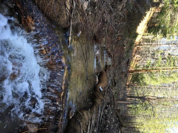
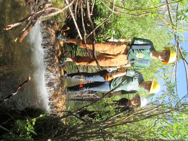
A new stream channel length over 7,400 feet with pools, woody debris habitat, and bioengineered willow lifts. That’s 1800 more feet compared to before!
3,215 linear feet of past channel now converted to new wetlands
48 fish habitat structures installed
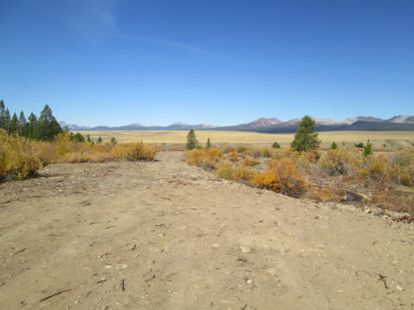
More than 1,000 feet of road reconstructed
Increased sinuosity over 30%
Over 200 pounds of wetland seed broadcast
Over 2,200 riparian container plants installed
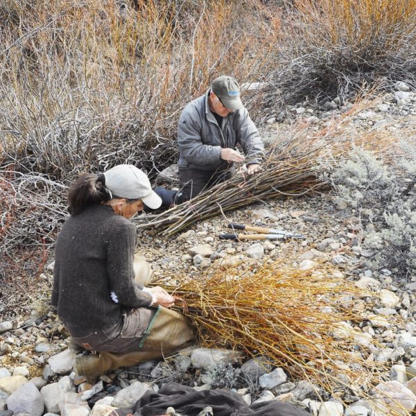
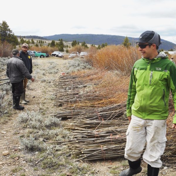
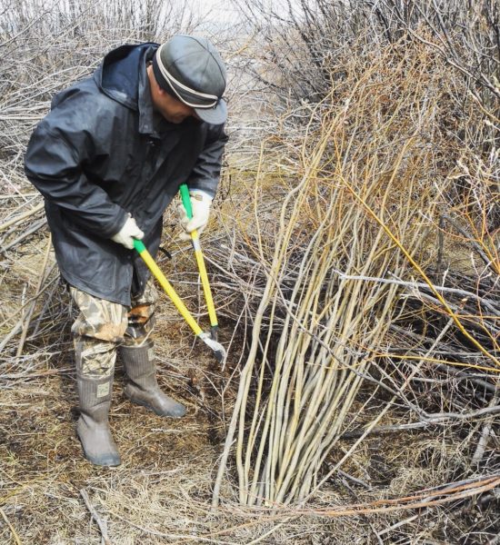
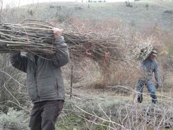
30,000 willow stakes and whips planted
People & Organizations Involved
Big Hole Watershed Committee (project manager)
Montana Fish, Wildlife and Parks (landowner, technical expertise)
Deer Lodge Valley Conservation District
Funders
Department of Natural Resources and Conservation- RDGP Program
Montana Department of Environmental Quality
Montana Fish, Wildlife and Parks (Future Fisheries)
George Grant Chapter Trout Unlimited
Bureau of Land Management (Abandoned Mines)
Patagonia World Trout Initative
Montana Chapter American Fisheries Society
Contractors
Morrison-Maierle (Design and Oversight)
Montana Civil Contractors with Watershed Consulting; RS Johnson Contractors; Montana Conservation Corps (Construction)
Researchers/Students
Project Documents
French Gulch and Moose Creek Final Report
Project Photos

Project MAP
Status
Completed
Type
Wetlands/Mesic Restoration
