
Projects
Lower Big Hole Streambank Stabilization and Riparian Enhancement Project
A Big Hole Conservation Fund Project
Impairment: Severely eroding streambanks that lead to large inputs of sediment into the river annually; increased water temperature due to lack of riparian vegetation, and lack of aquatic habitat.
Proposal: Stabilize, restore and enhance approximately 460 linear feet of stream bank. The project will fix the landowner’s previous stabilization attempt constructing professionally engineered streambank stabilization treatments for the benefit of native fish and angler experience.
Benefits: Decreased sedimentation, reduced water temperature, and improved riparian habitat.
Calendar: Implementation – November 2021
Estimated Cost: $15,000
Big Hole Conservation Fund Goal: $1,500
This project was completed in December 2021. Thanks to 11 donors, we met and then beat our funding goal of $1,500! $1,841.64 was raised through the Big Hole Conservation Fund to support this important project. We used the funds to help pay the contractor, Watershed Consulting who did an excellent job. Thank you to all the donors!!
Project Description
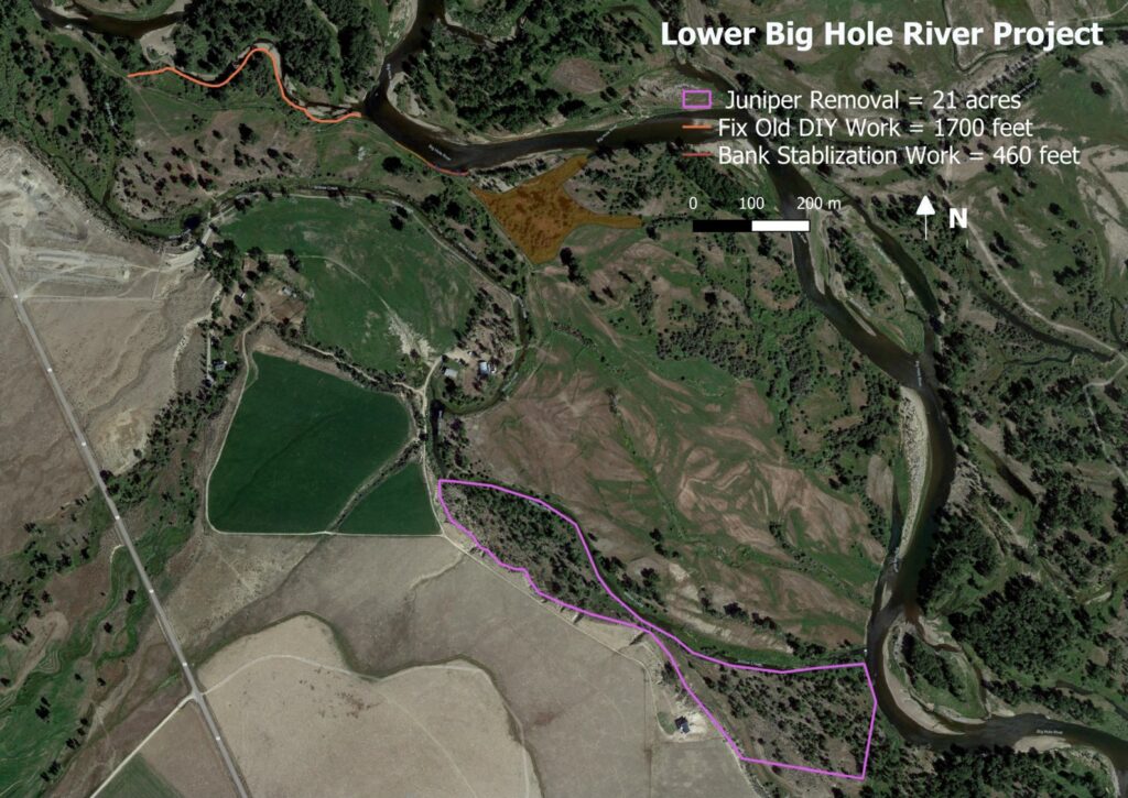
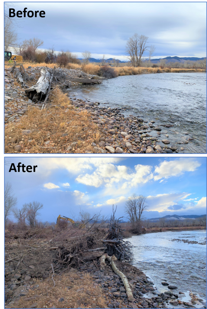
The focus of this project was to protect, restore, and enhance approximately 460 linear feet of main-stem Big Hole River and 21 acres of riparian forest, on private land near Glen, MT.
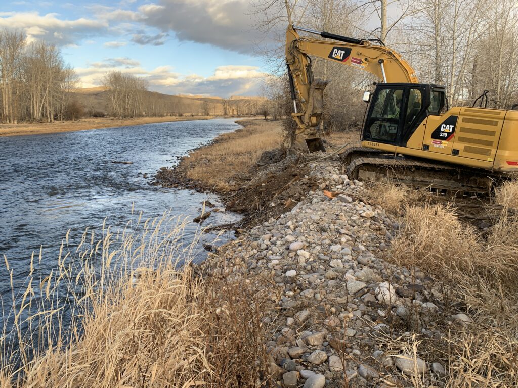
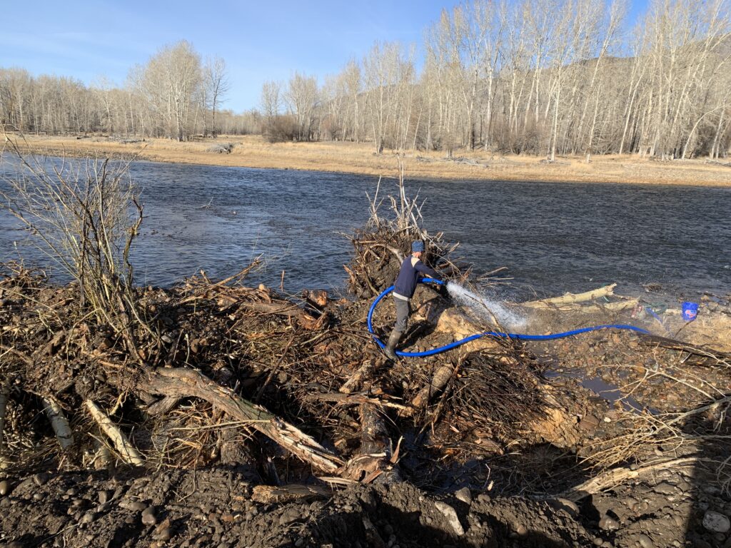
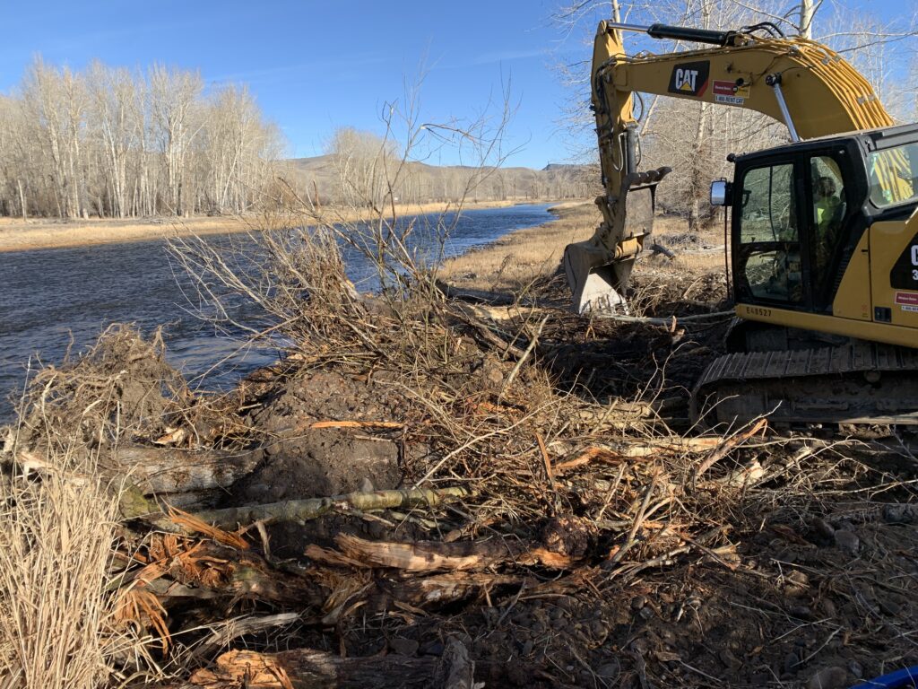
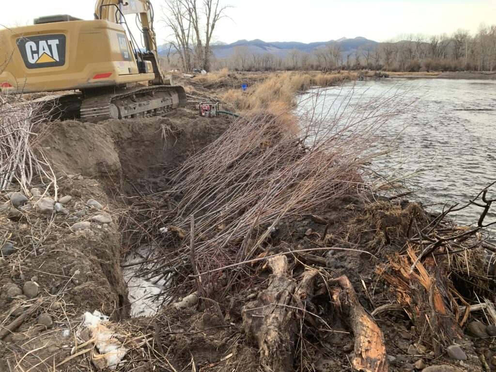
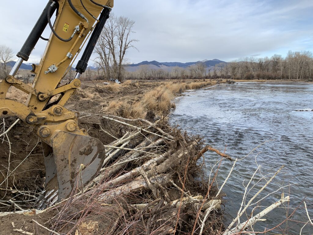
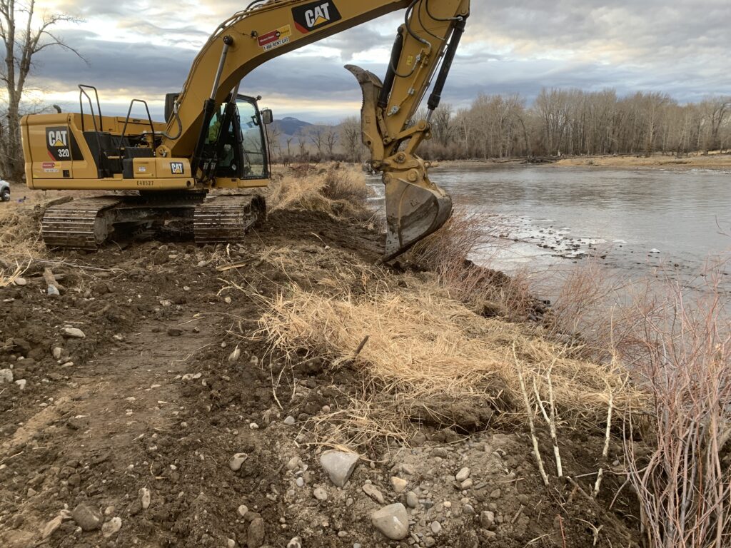
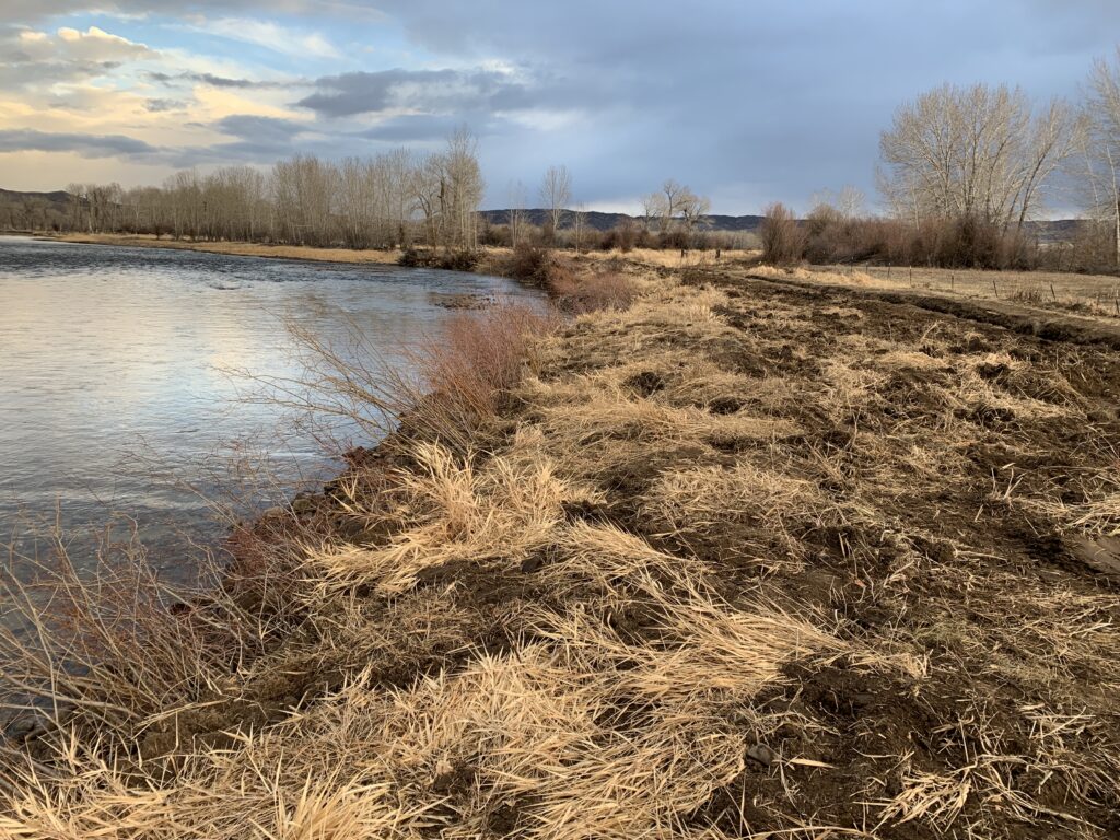
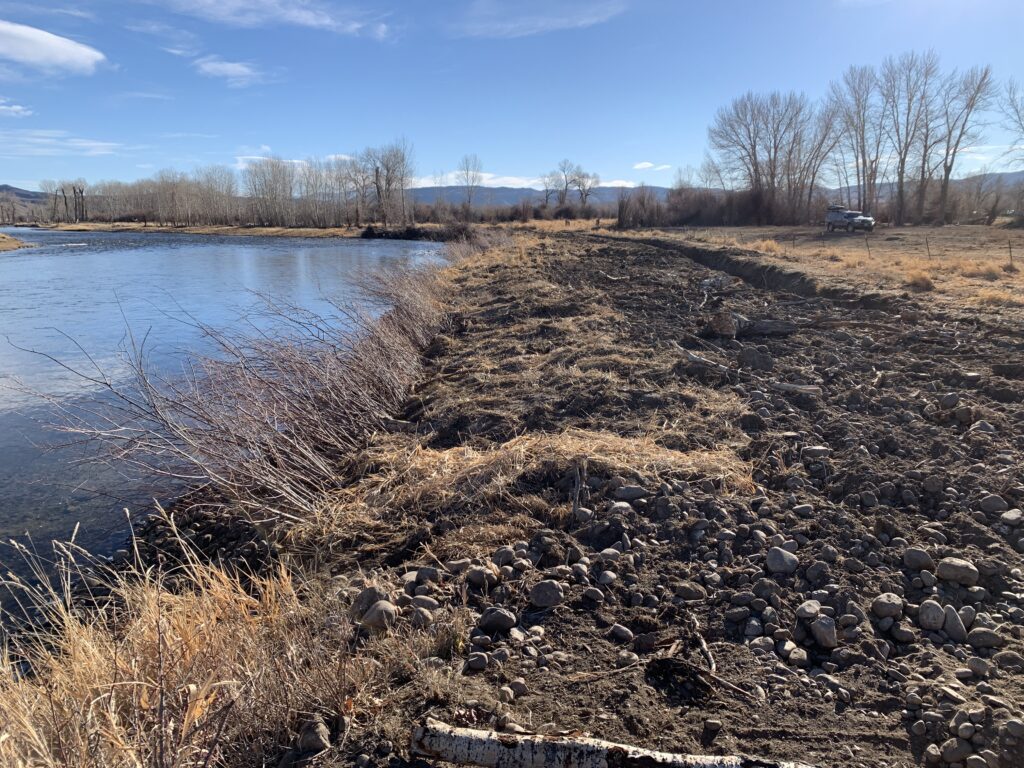
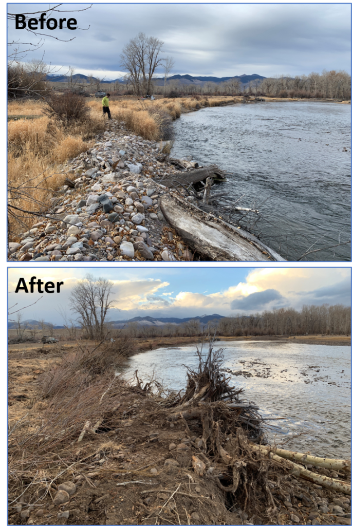
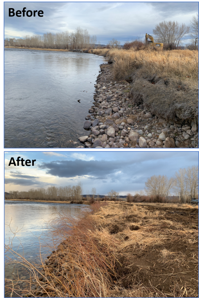
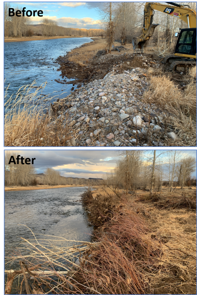
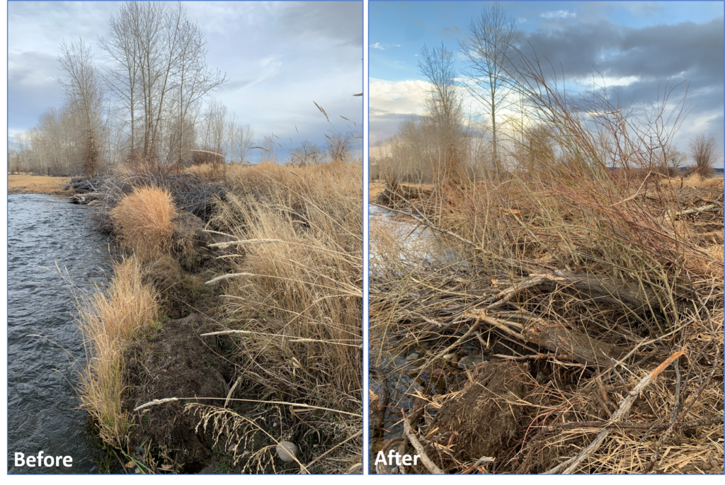
Bank Stabilization
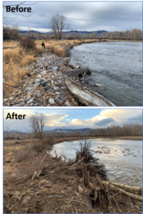
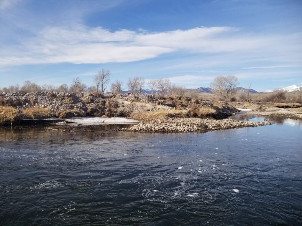
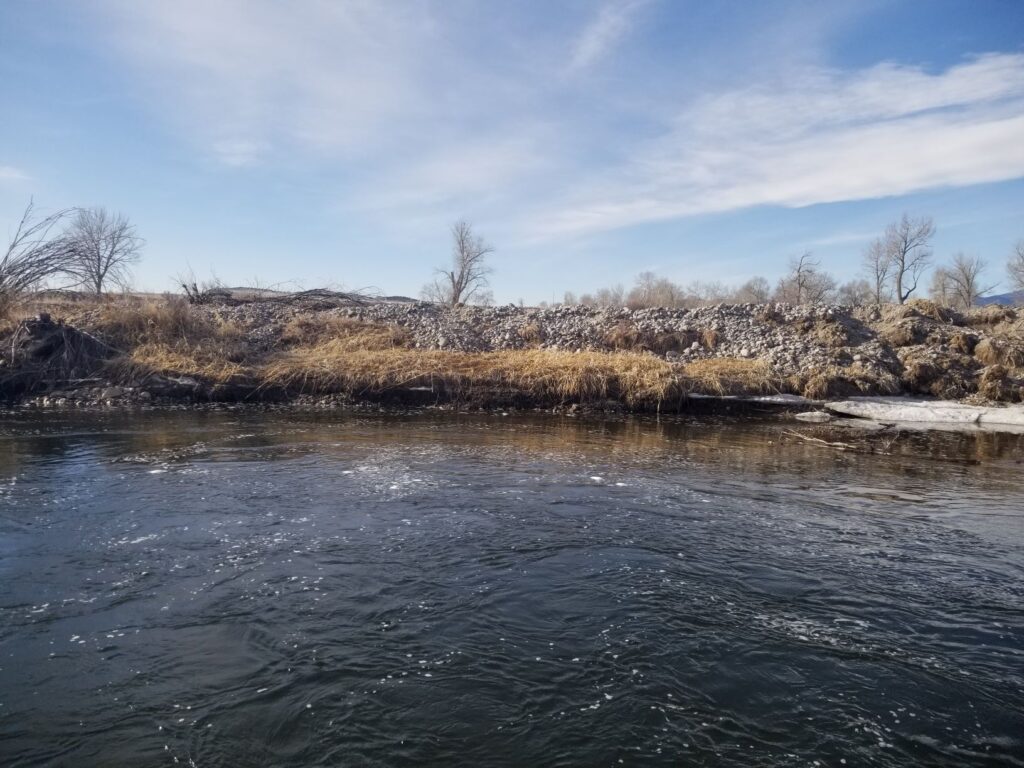
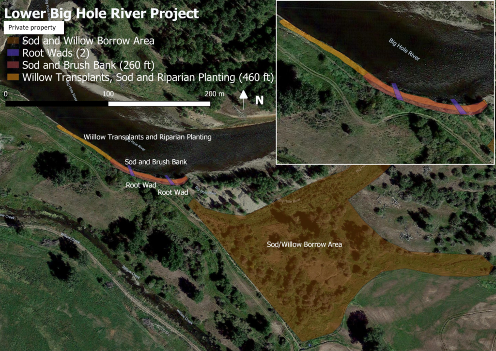
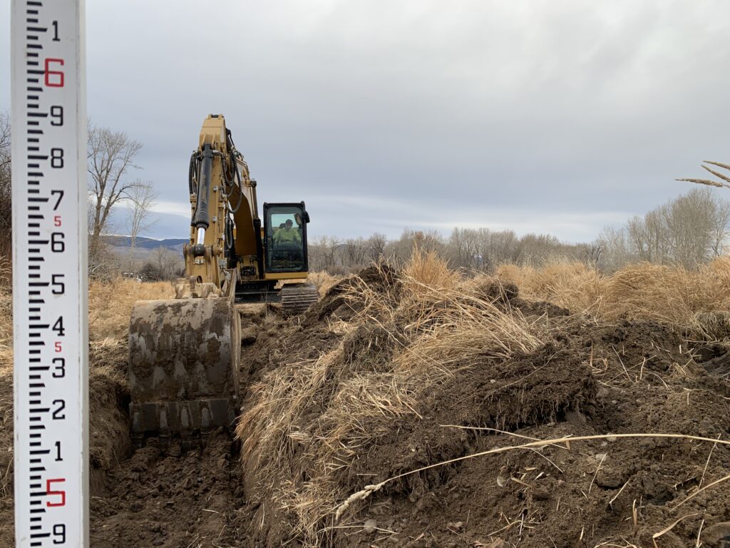
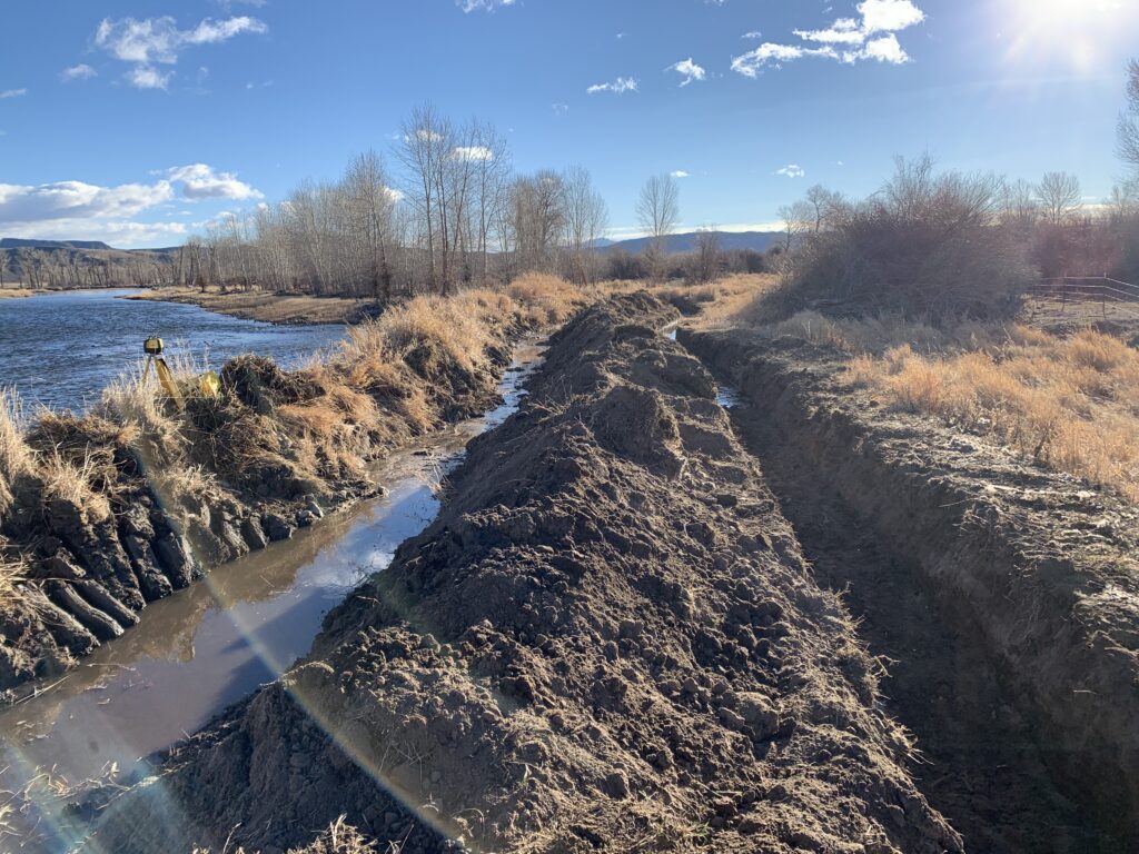
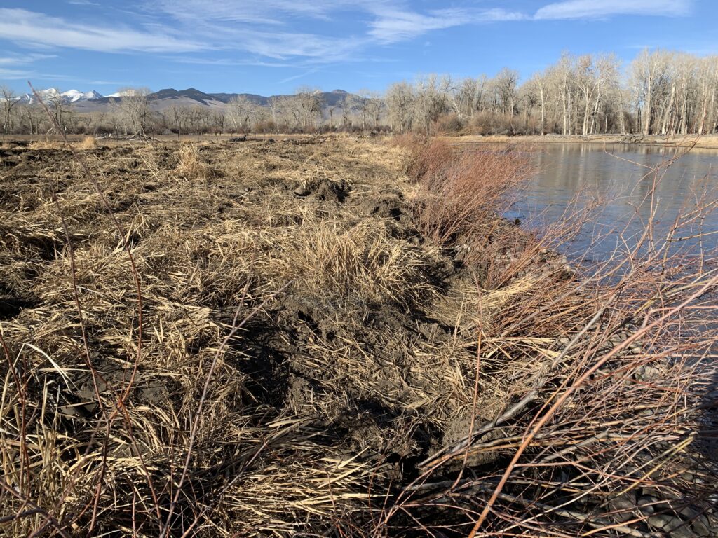
460 feet of streambank along the lower Big Hole River was restored. Within that 460 feet, 200 feet of the bank (downstream reach) was given a robust willow/brush matrix treatment. 2 large rootwads were incorporated into the willow/brush matrices. The remaining 260 feet of the bank (upstream reach) was given a “softer” bank stabilization treatment including regrading the banks to a 4:1 slope, adding sedge/rush sod matting at the toe, and willow trenching. A total of 1,150 willow whips were planted throughout the entire project reach. All disturbed areas were seeded with a native riparian seed mix.
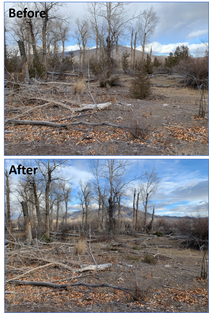
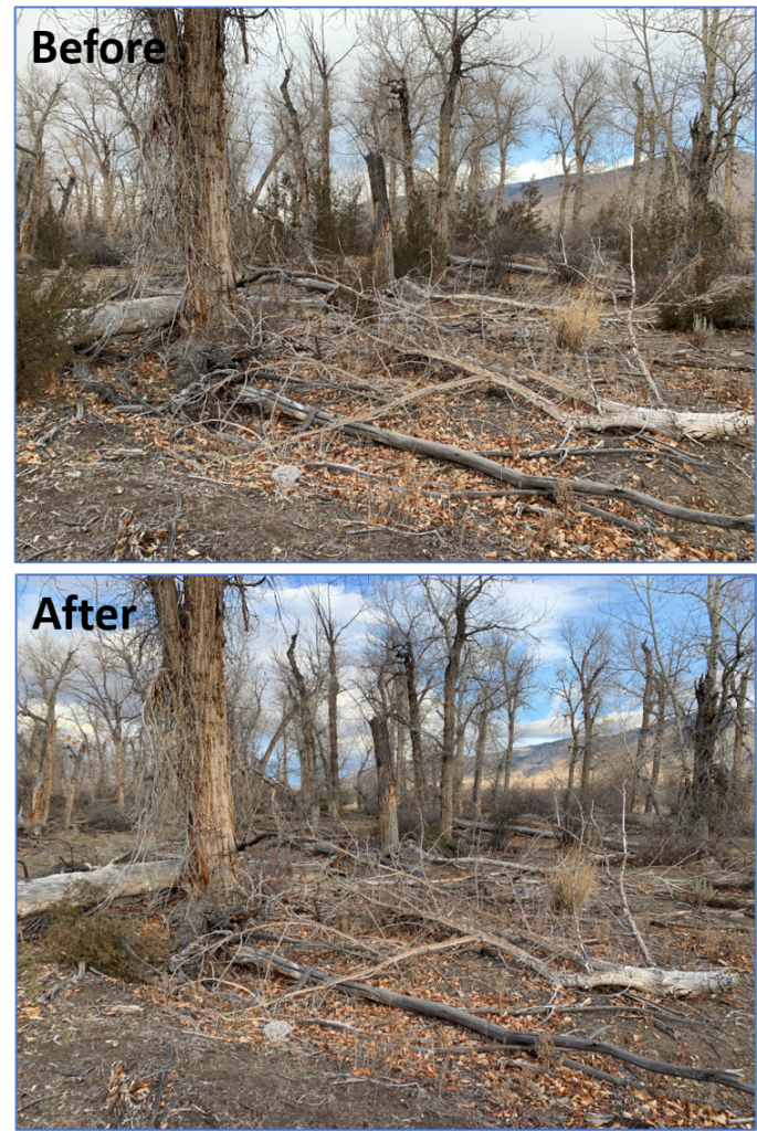
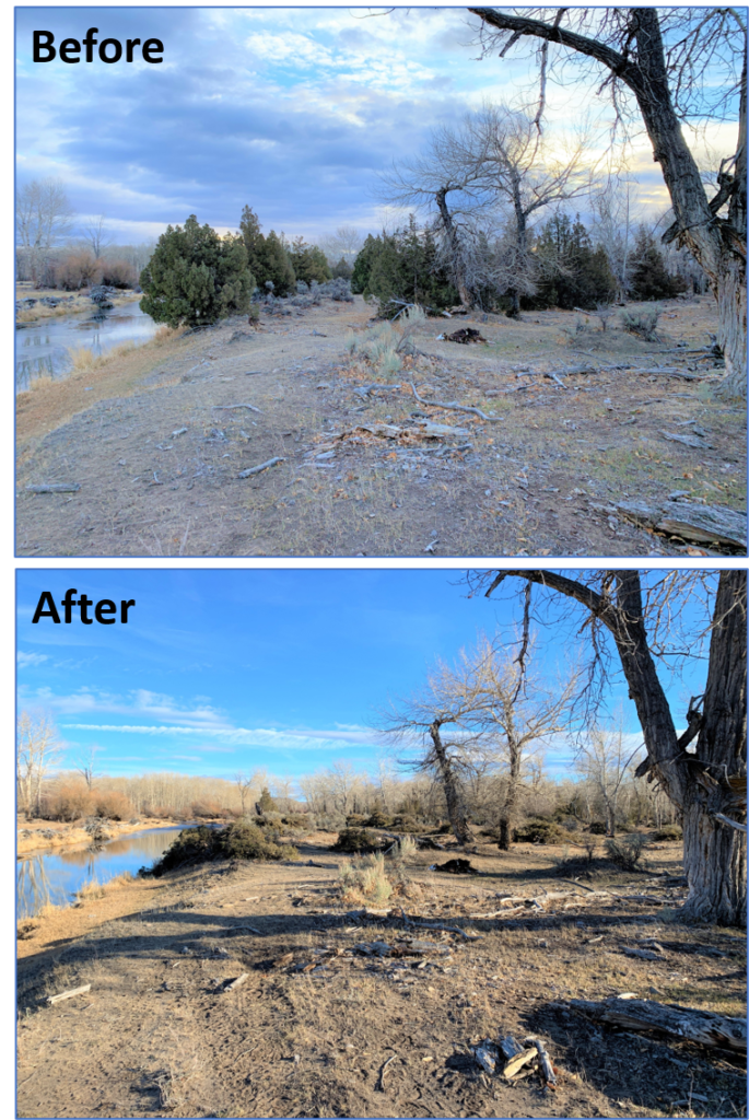
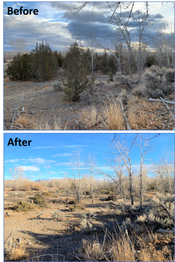
Riparian Conifer Encroachment Removal
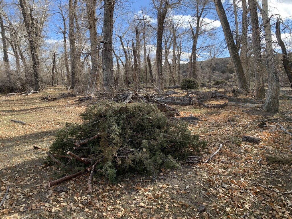
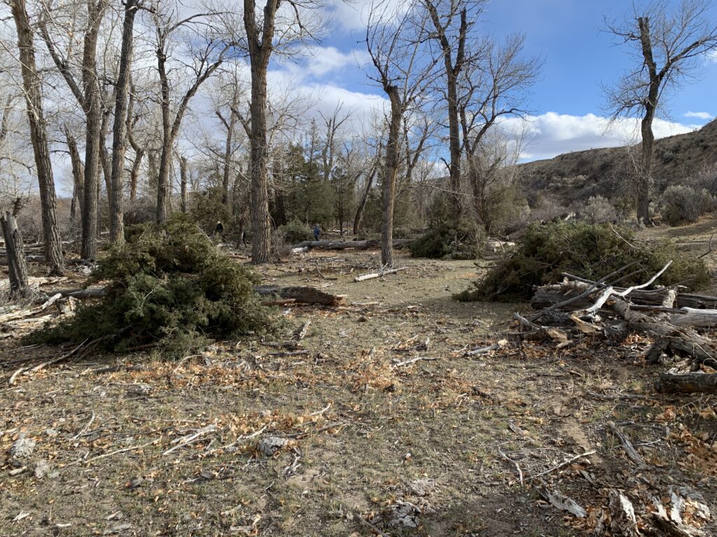
100% removal of Rocky Mountain Juniper from 21 acres of the landowner’s designated floodplain have been completed. The slash from the treatments was piled for the landowner to burn in the future. All usable fence post materials were processed and stockpiled for the landowner’s future use.
People and Organizations Involved
Private landowners
Montana Fish, Wildlife, and Parks
Montana Watershed Coordination Council
Natural Resources Conservation Service (NRCS)
Project Results
-460 feet of streambank restored
-1,150 willow whips were planted
-2 large rootwads were installed
-200 feet of willow/brush matrices installed
-21 acres of riparian forest restored
Project Documents
Project Photos
Project MAP
Status
Completed
Type
Streambank/Sedimentation