
Projects
Smith Sage Springs Restoration
Impairment: Loss of wetland/riparian function in critical sage grouse and Arctic grayling habitat; sedimentation and increased temperature.
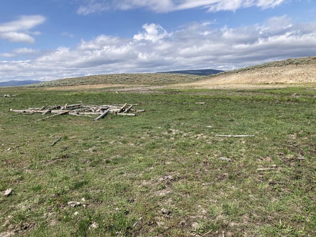
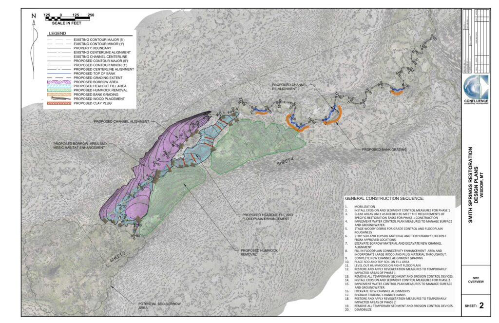
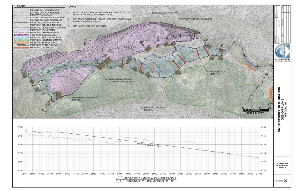
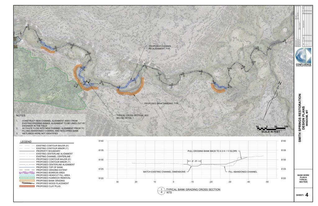
Proposal: Stabilize active head-cutting to preserve wet meadow upstream; establish new floodplain by regrading headcut area and creating new wetland and stream corridor; fencing. Phase II will reconnect the entire drainage to the North Fork of the Big Hole.
Benefits: Improved water quality/quantity; fish habitat/connectivity and wetland habitat improvement.
Calendar:
- Phase 1 (wetland restoration) completed summer 2024
- Phase 2 (reconnect project) planned for 2025
Estimated Cost: $243,281.00
Project Description
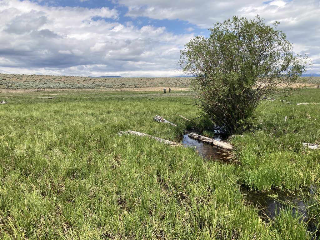
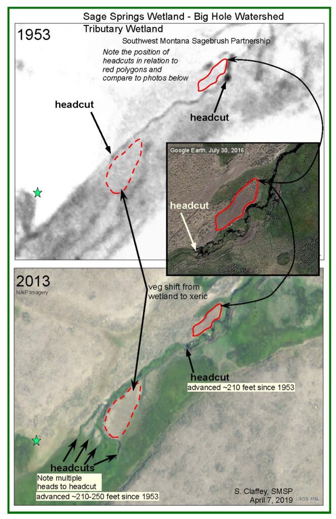
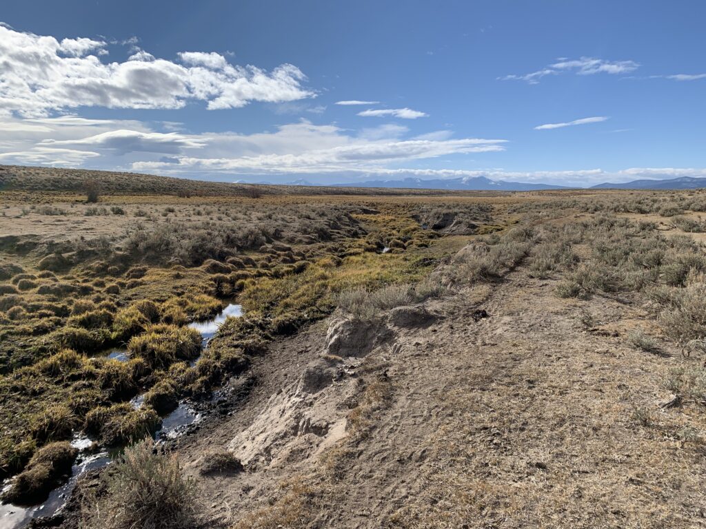
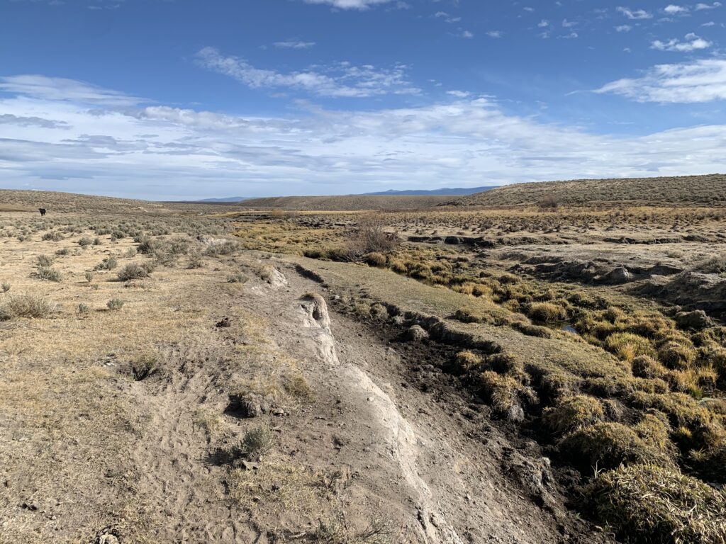
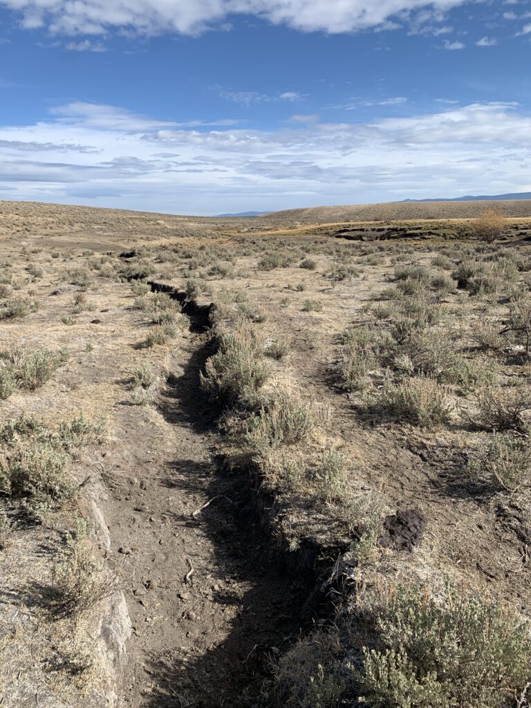
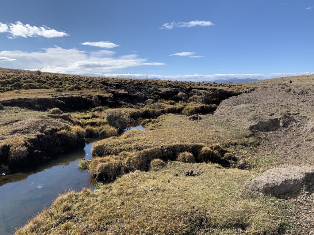
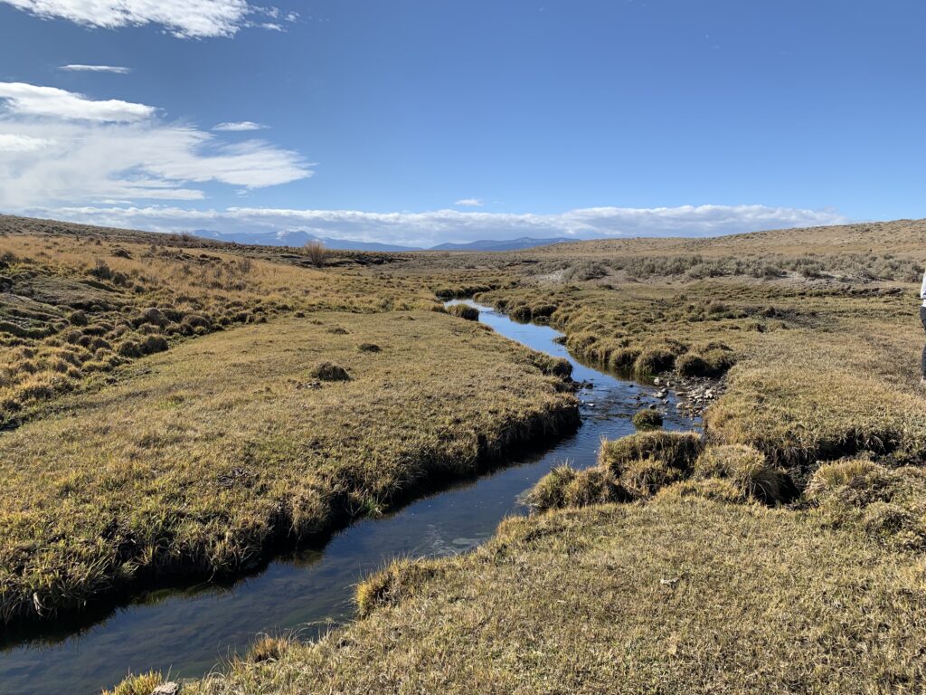
Smith Sage Springs Creek is a small tributary to the North Fork of the Big Hole River and supports wetlands and riparian vegetation within a mesic setting that serves as habitat for sage grouse (with several active leks located nearby), pronghorn, elk, songbirds, and raptors. The stream also provides habitat for Westslope cutthroat trout and has the potential to provide habitat for fluvial Arctic grayling. The stream and associated wetlands have been degraded by historical agricultural practices such as vegetation changes caused by grazing and flow modifications associated with irrigation. Increased flow, when combined with vegetation modifications, is the most probable explanation for headcutting and degradation of wetland and riparian habitat. The US Fish and Wildlife Service and partners seek to improve and protect fluvial and wetland habitat values of this tributary stream.
Existing Conditions
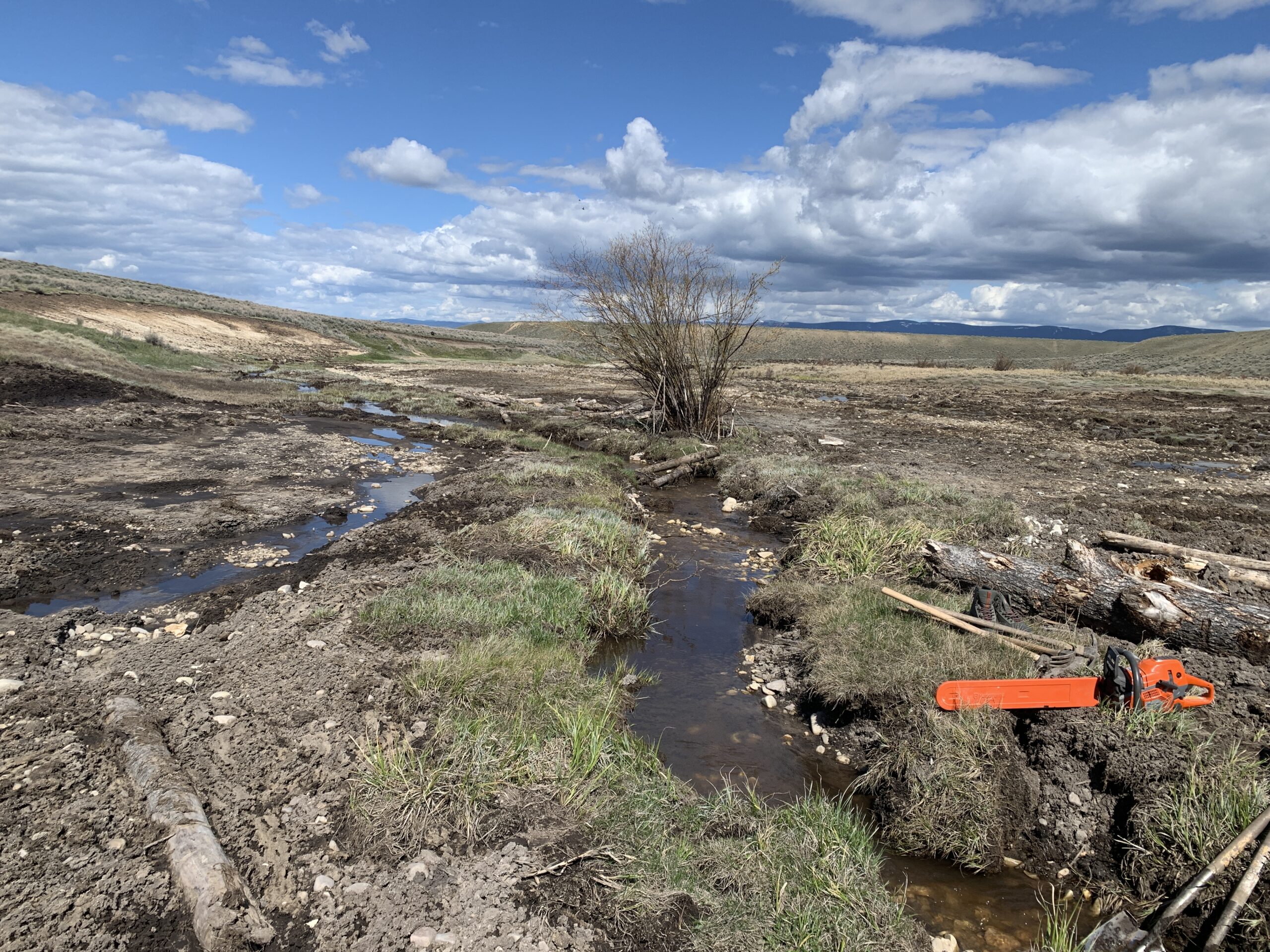
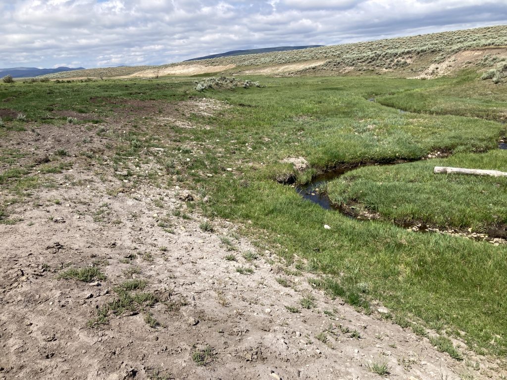
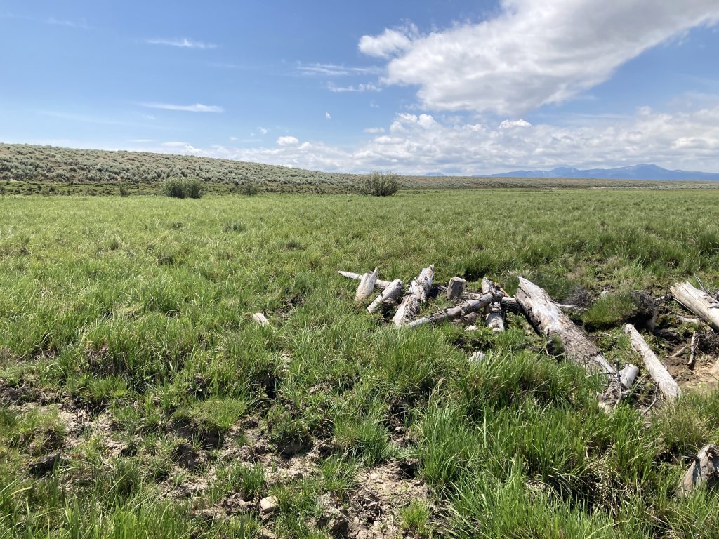
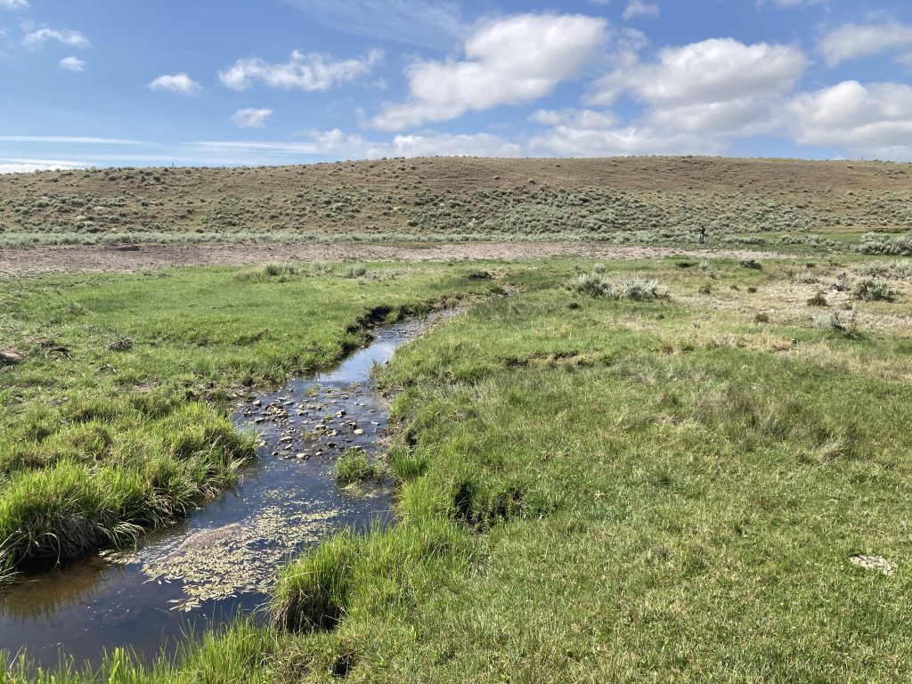
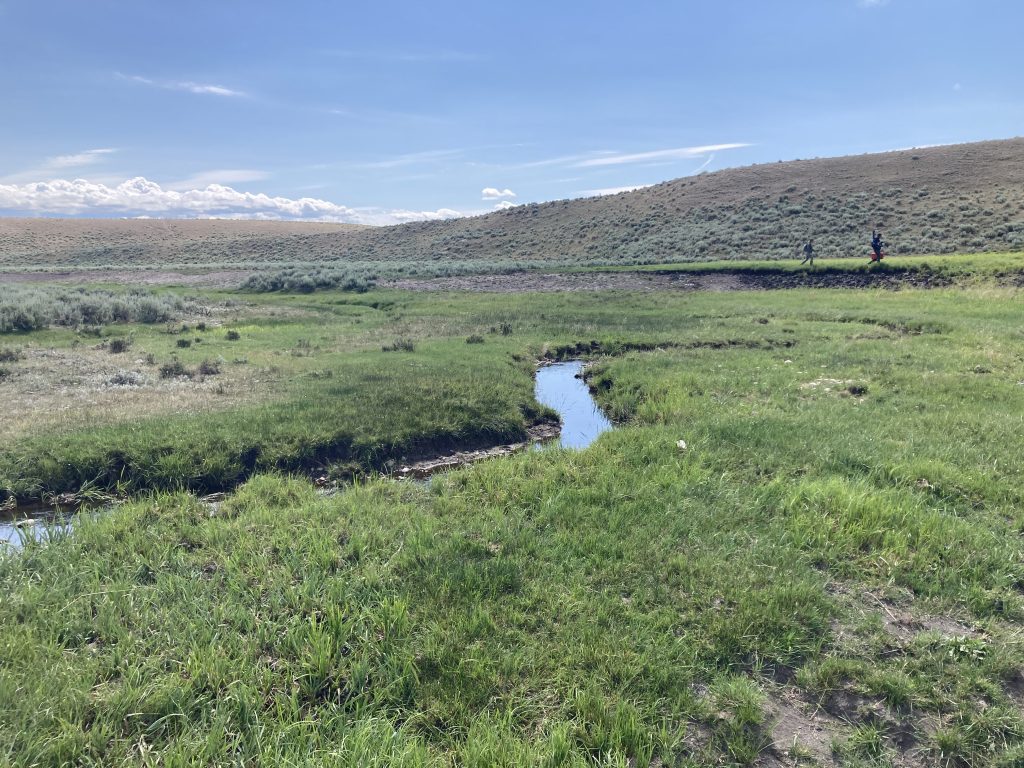
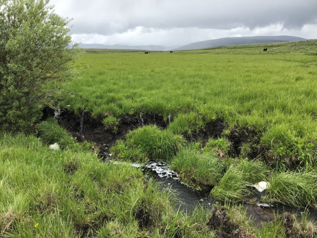
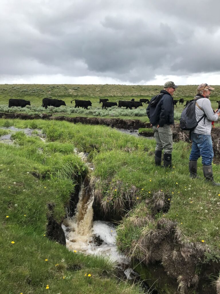
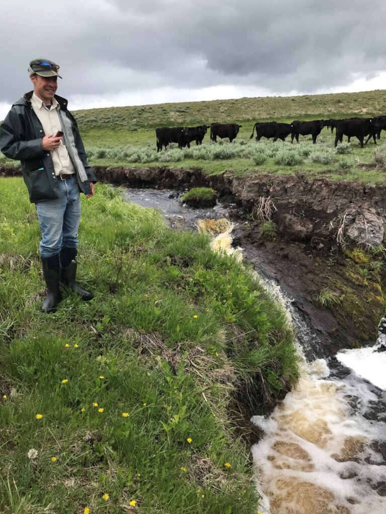
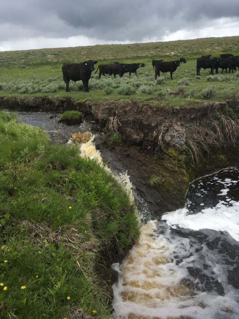
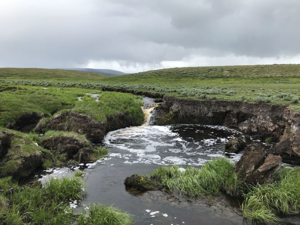
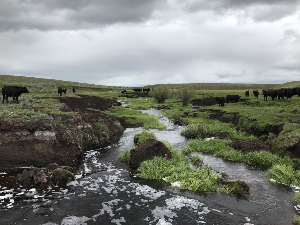
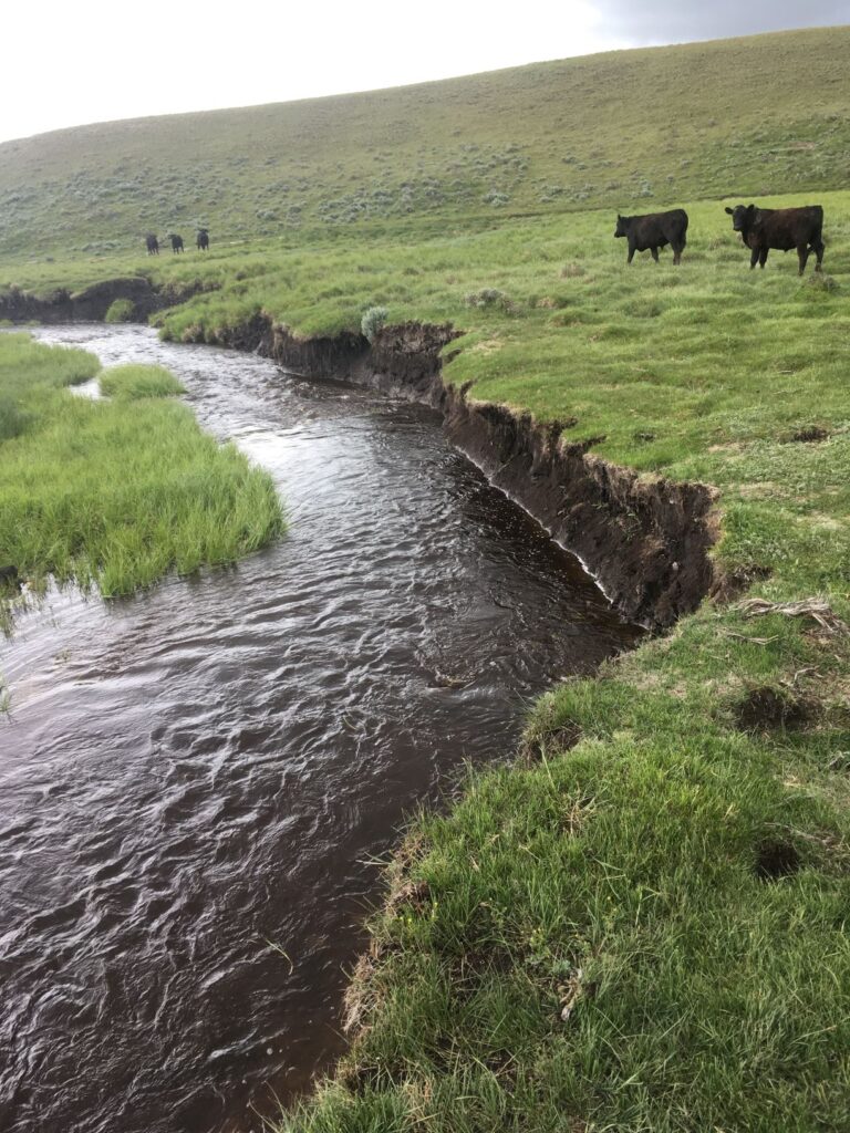
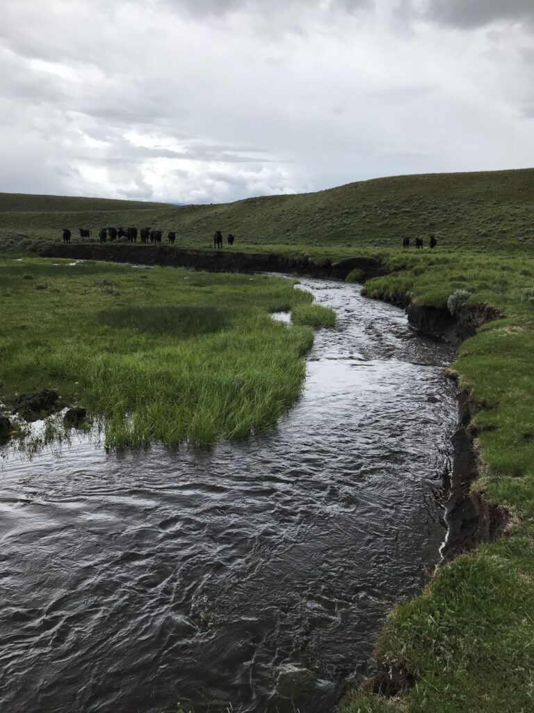
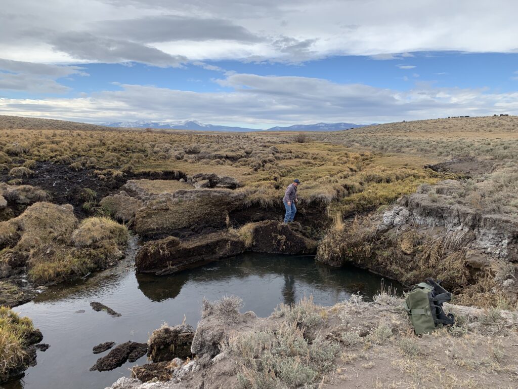
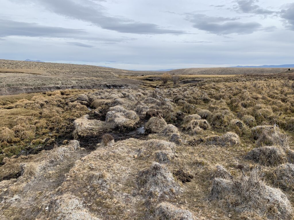
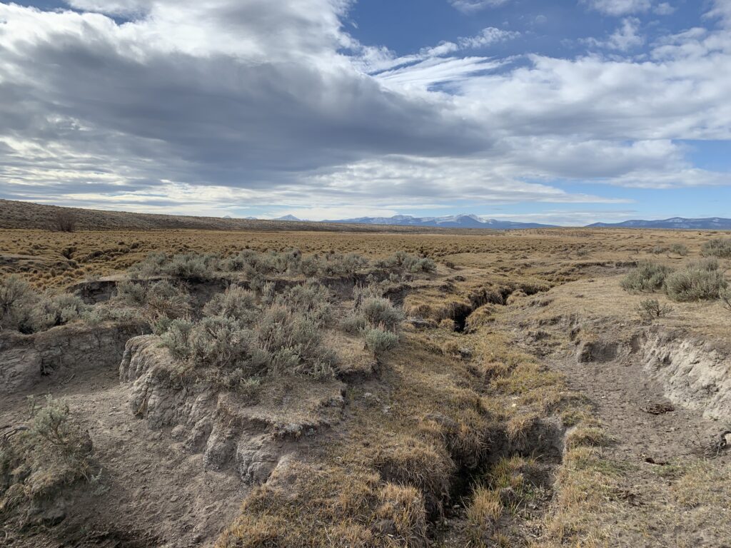
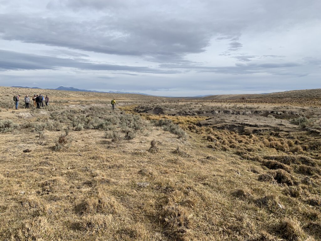
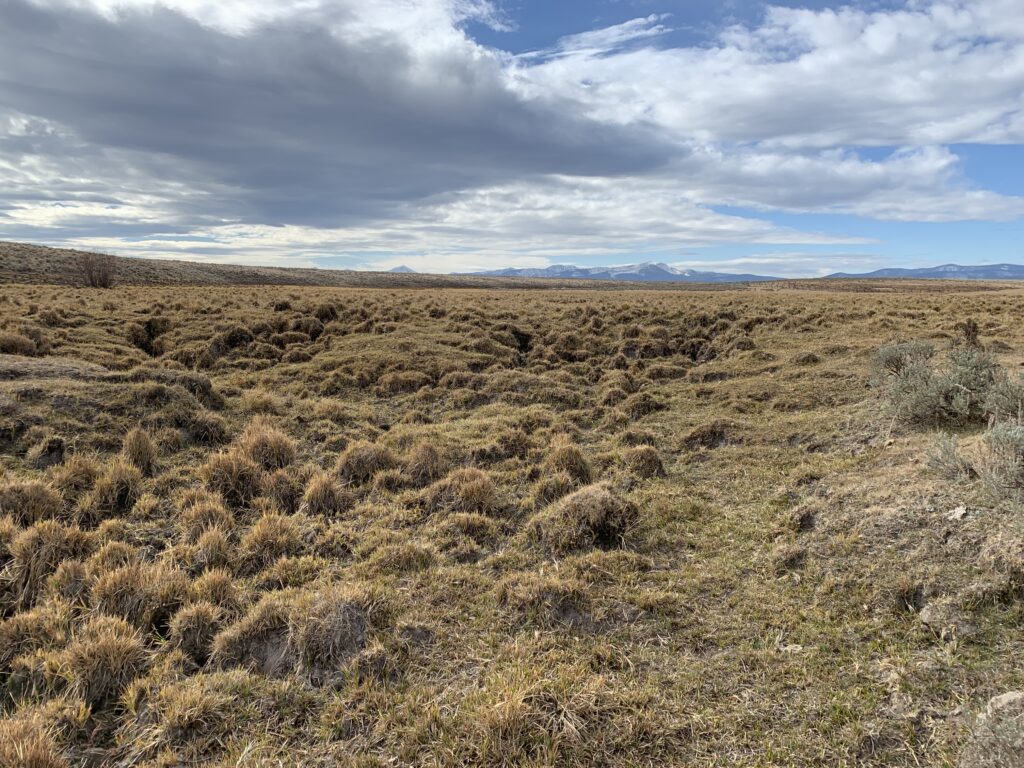
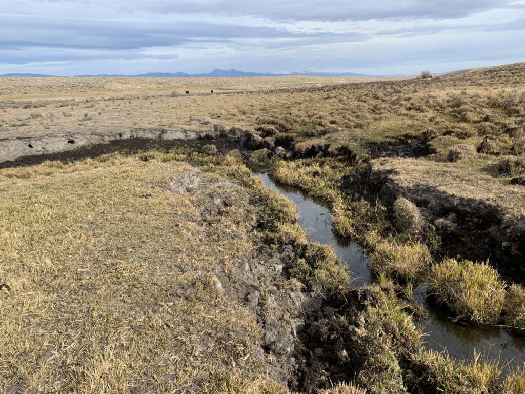
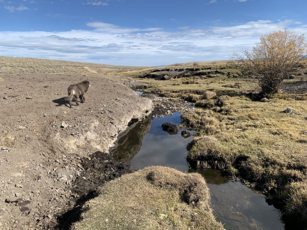
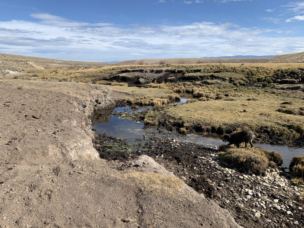
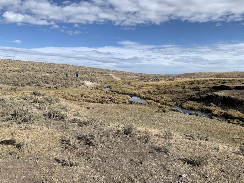
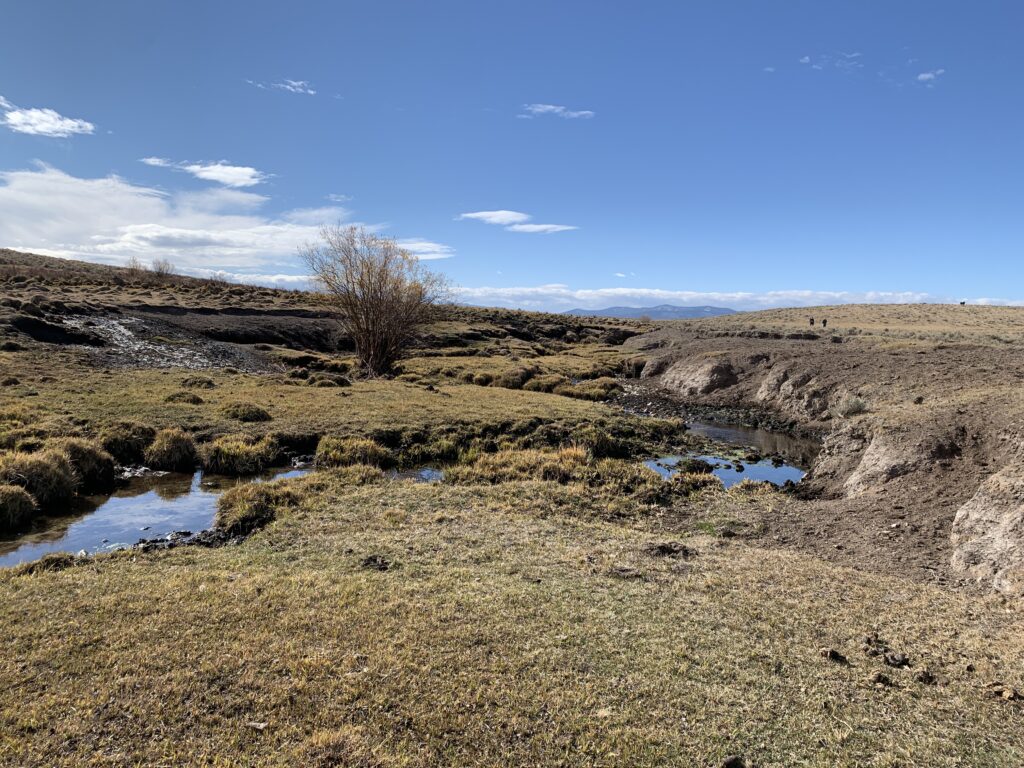
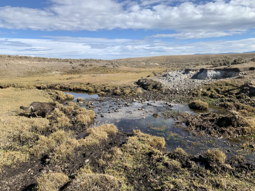
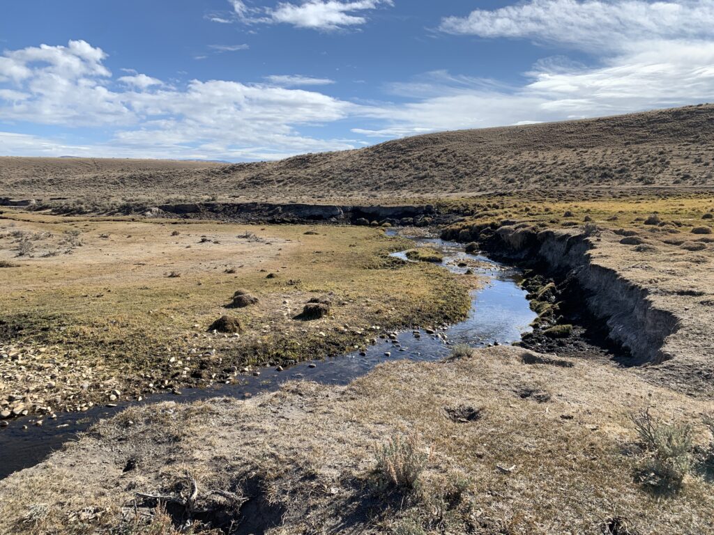
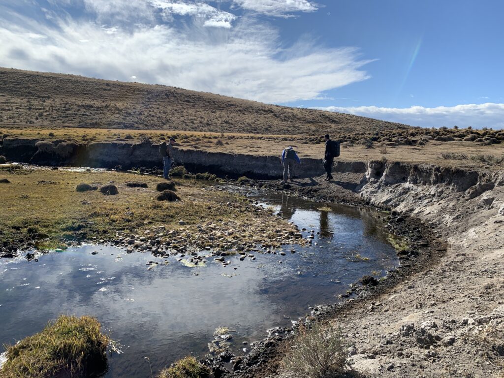
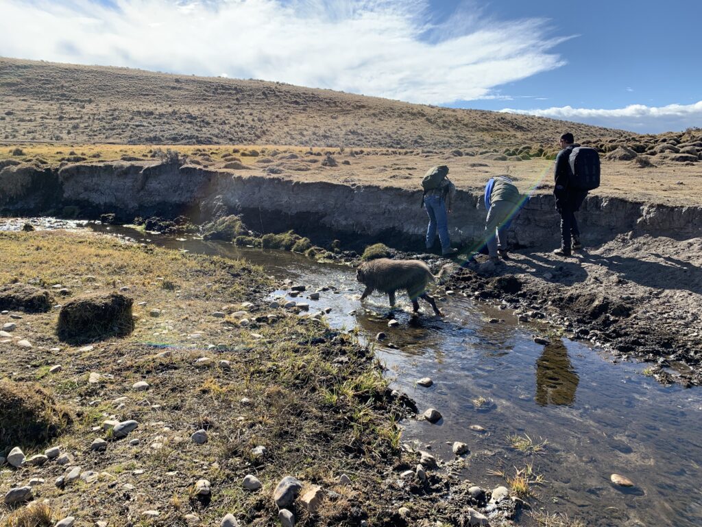
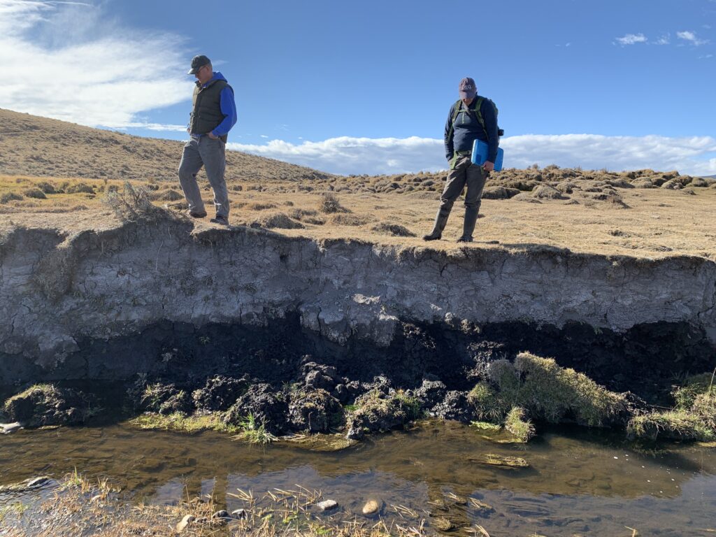
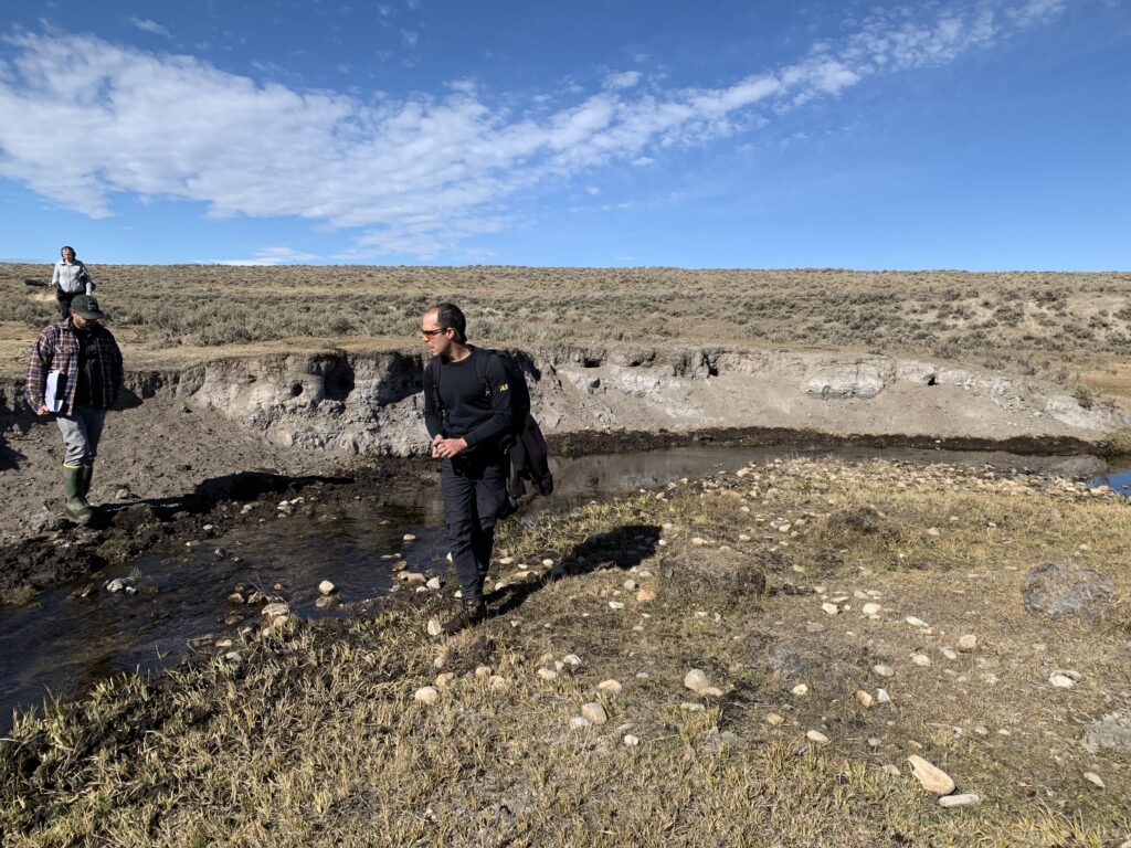
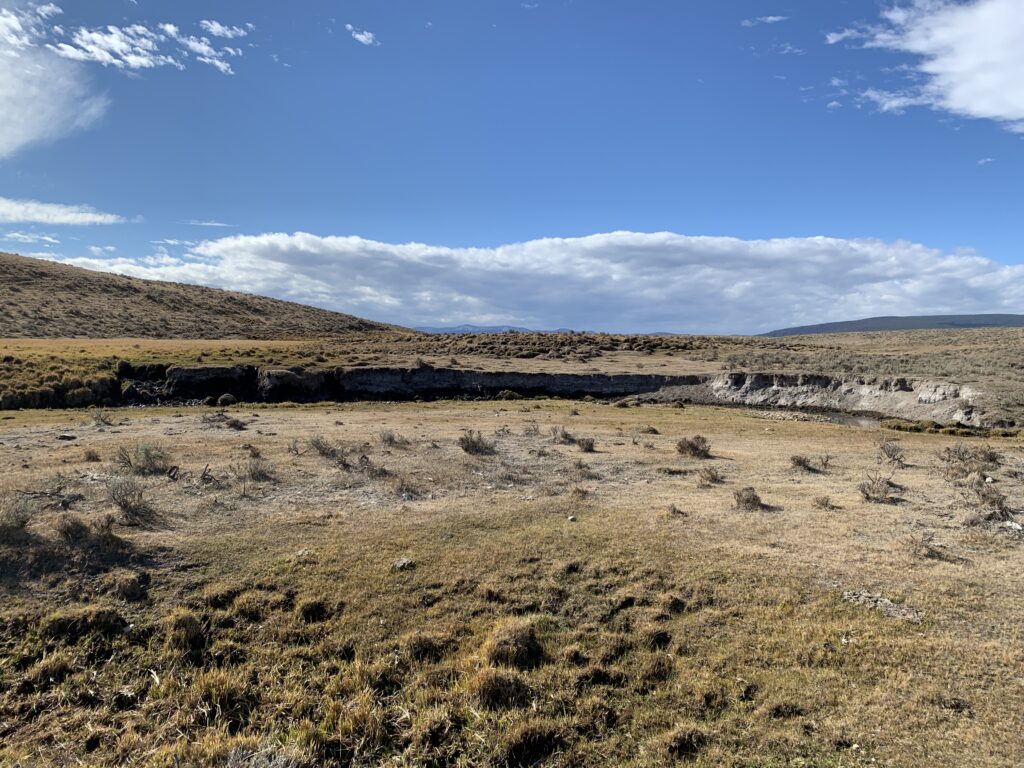
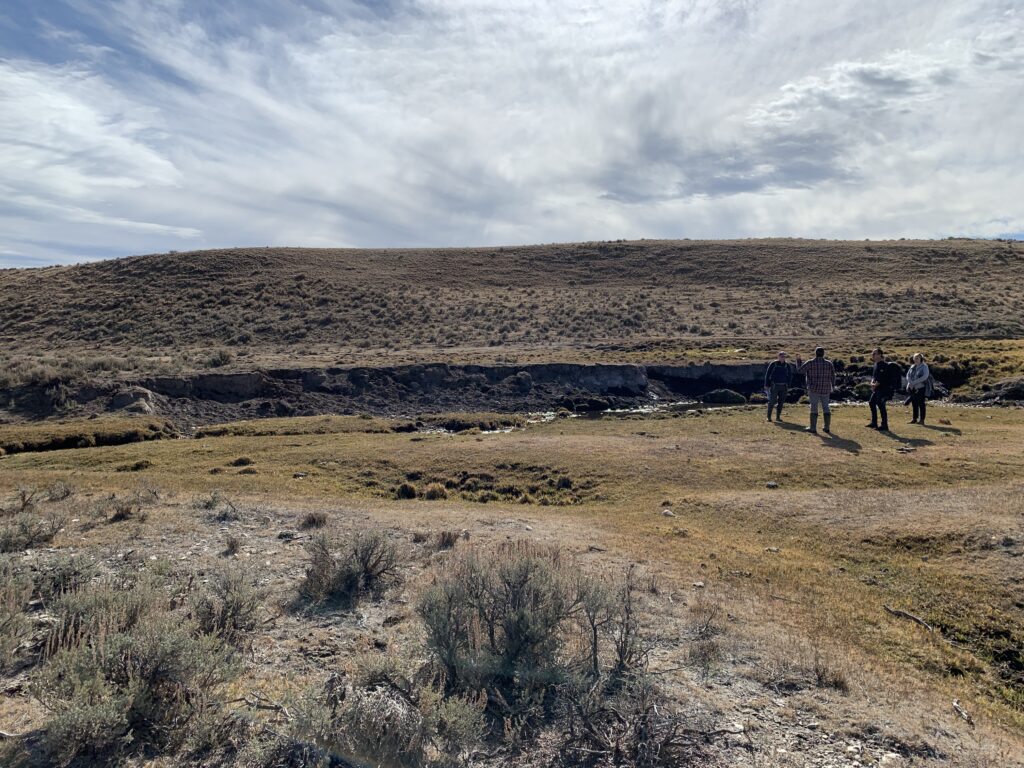
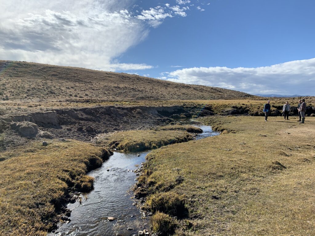
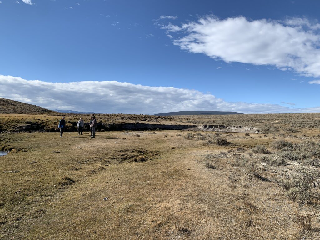
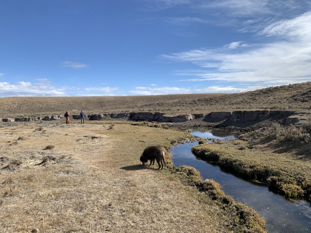
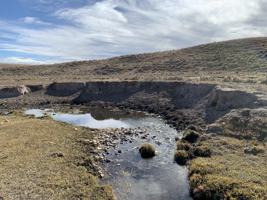
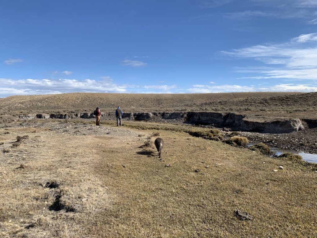
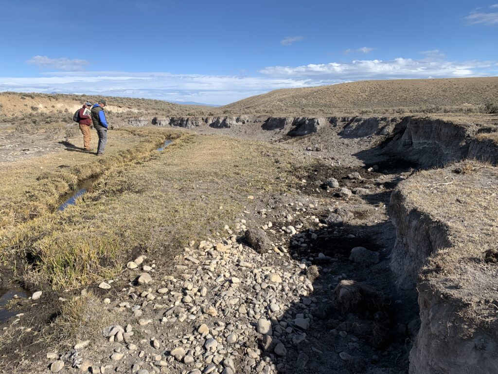
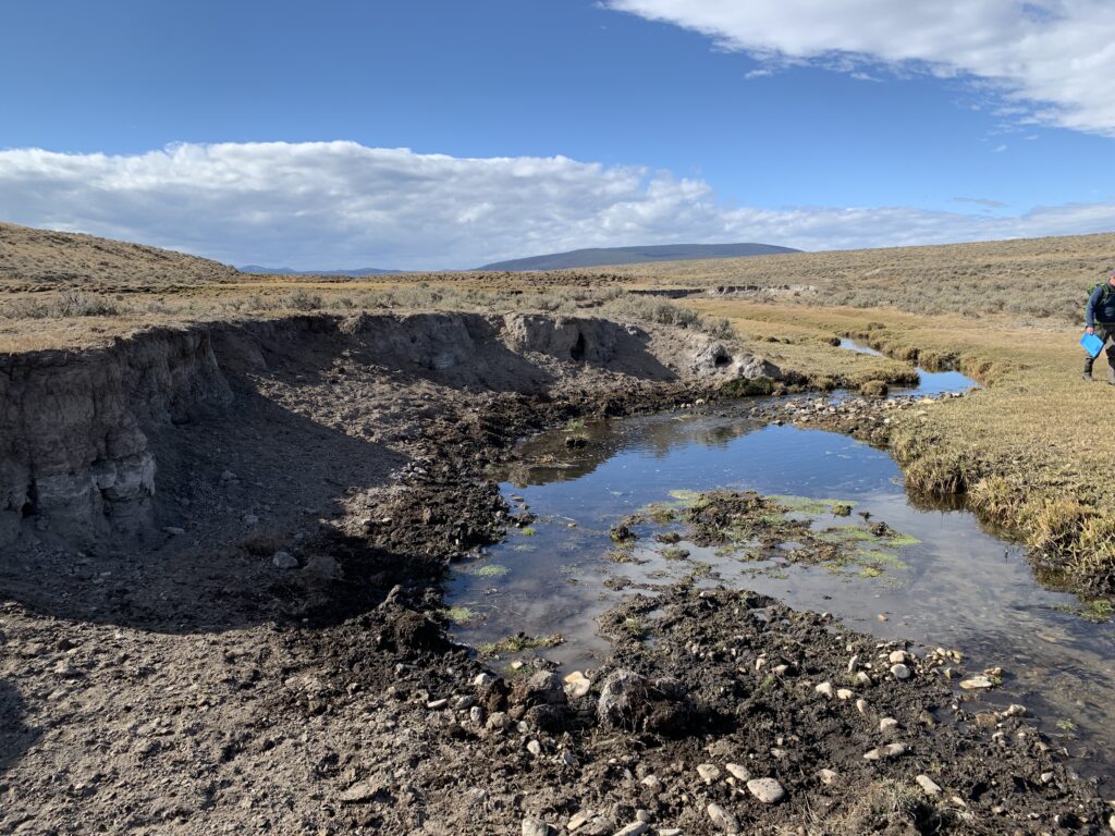
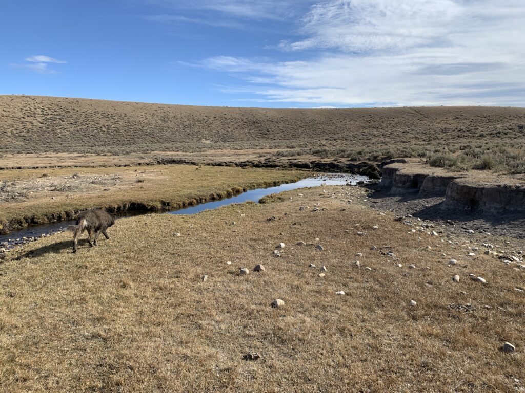
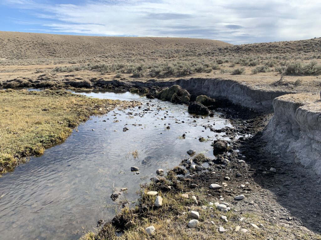
The stream originates as a series of springs within an expansive sedge wetland complex. Groundwater emerges from the southeast valley margin, creating a large sloped wetland along the south side of the valley. The stream channel is poorly defined, with water periodically flowing overland through the wetland with no channel. The stream then abruptly cascades over a significant, active headcut that is migrating upstream and threatens to impact the sedge wetland complex by lowering the water table. Immediately below the headcut, the stream begins to flow in a relatively straight gully channel that gradually transforms into a more defined, incised channel. Several banks along the gully and channel are eroding laterally as the system forms an incipient floodplain through typical channel evolution processes.
Proposed Improvements
The USFWS and partners propose to stabilize the headcut and address eroding stream banks downstream to protect wetlands and promote growth of woody riparian vegetation. Restoration will restore hydrologic connectivity with the spring and mesic corridor and improve wetland vegetation species and invertebrates composition. Improving mesic habitat will provide food and water resources for many species including greater sage grouse, sagebrush obligate songbirds, elk, pronghorn and increase forage for livestock. The project area will be fenced to allow better management of grazing.
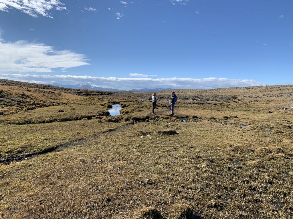
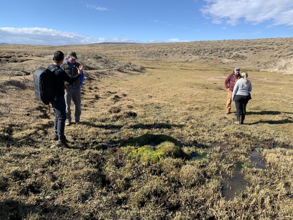
Project Status
Construction of Phase I ended on October 6, 2023. On October 4, 2023, BHWC took “after” photos of all photo points and collected post-construction data on 4 vegetation plots. <10% herbaceous vegetation cover was recorded for each 10M x 10M plot. Sites were visited in summer of 2024 and 2025 to capture sediment and vegetation data.
Looking Forward: A contractor has developed preliminary designs for the reconnect project. Work is progressing steadily despite delays in funding availability.
People and Organizations Involved
Southwest Montana Sagebrush Partnership
Montana Fish, Wildlife, and Parks
Private landowners
Funders
United States Fish and Wildlife Service-Montana partners for Fish and Wildlife
Montana Department of Environmental Quality
George Grant Chapter of Trout Unlimited
Contractors
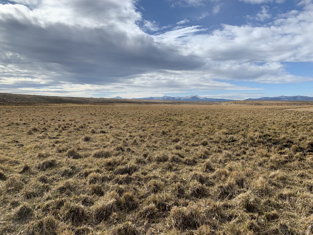
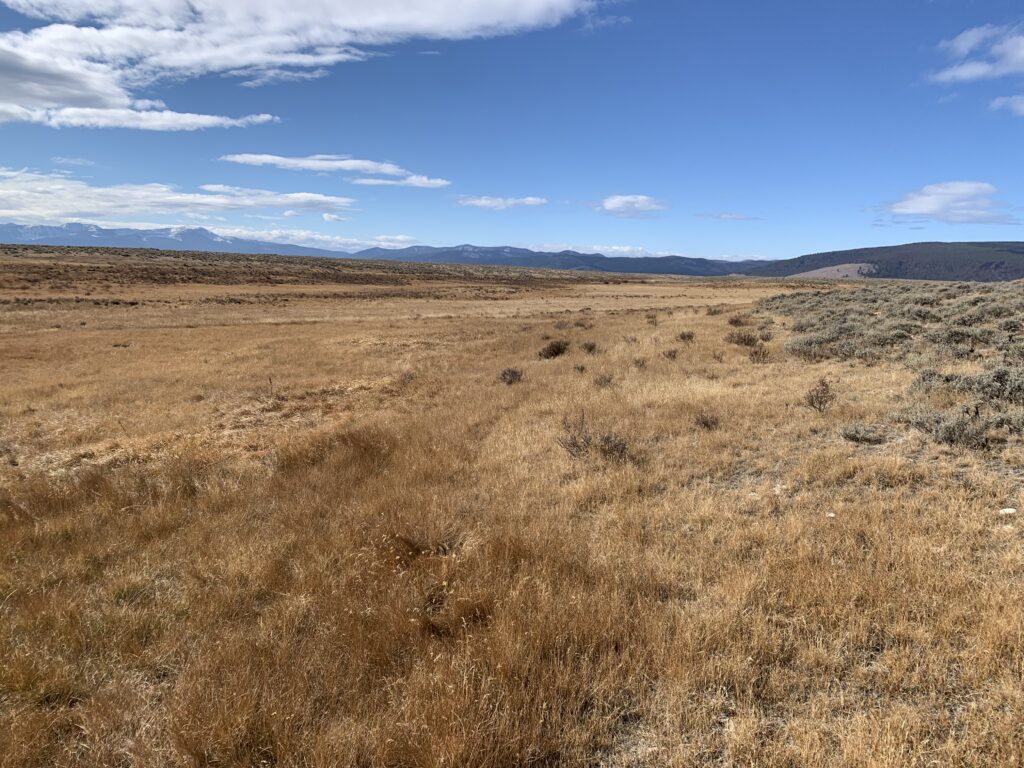
Project Photos
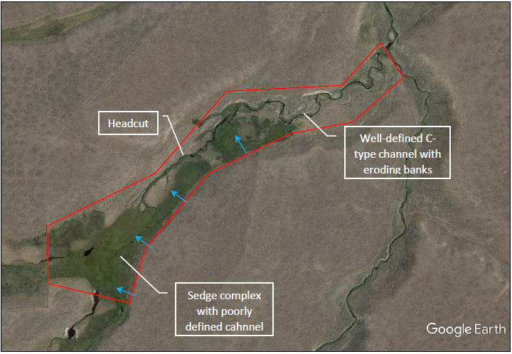
Project MAP
Status
In Progress
Type
Native Fish