Projects
Upper Oregon Creek Restoration
Project Description
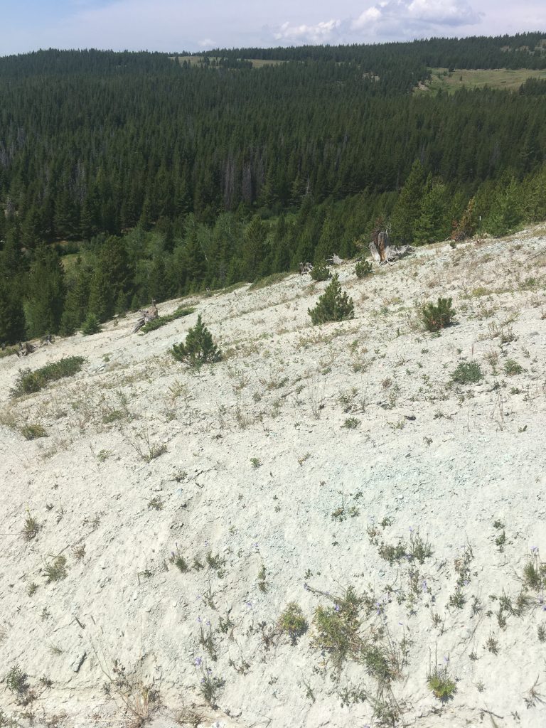
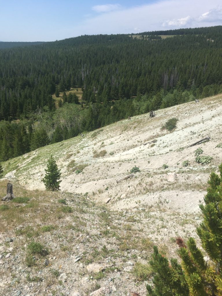
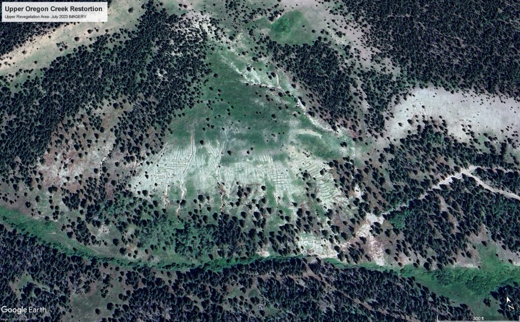
Since 2014, the Big Hole Watershed Committee (BHWC) has invested significant time and energy into the French Creek drainage, a major tributary to the Big Hole River. Restoration projects in adjacent tributaries (Oregon Creek) and the nearby Superfund site have all worked toward the common goals to reduce sediment, improve habitat, and support native fish refugia. From 2020-2023, BHWC implemented the Upper Oregon Creek Restoration Project to address mining and logging-related damages to the upper reach of Oregon Creek. The project was an extension of BHWC’s many years of involvement of remedy and restoration on the Mount Haggin Injured Area (RDU 15) of the Anaconda Superfund site, under the Natural Resource Damage Program (NRDP), amalgamating many years’ worth of adaptive management techniques under one project.
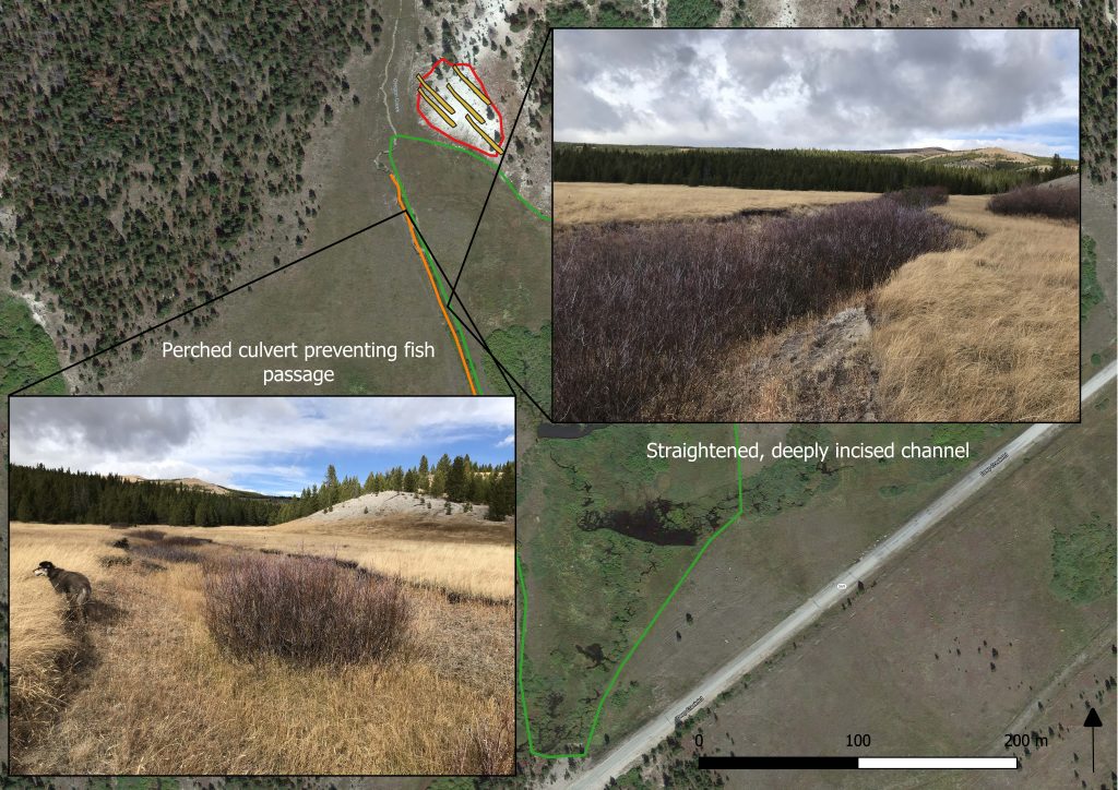
This project was designed to improve water quality by reducing sediment loading from upland erosion, improve riparian habitat and vegetation conditions, and remove a fish passage barrier in the headwater reaches of Oregon Creek.
The project objectives were to:
- Capture sediment on the floodplain and in the stream channel.
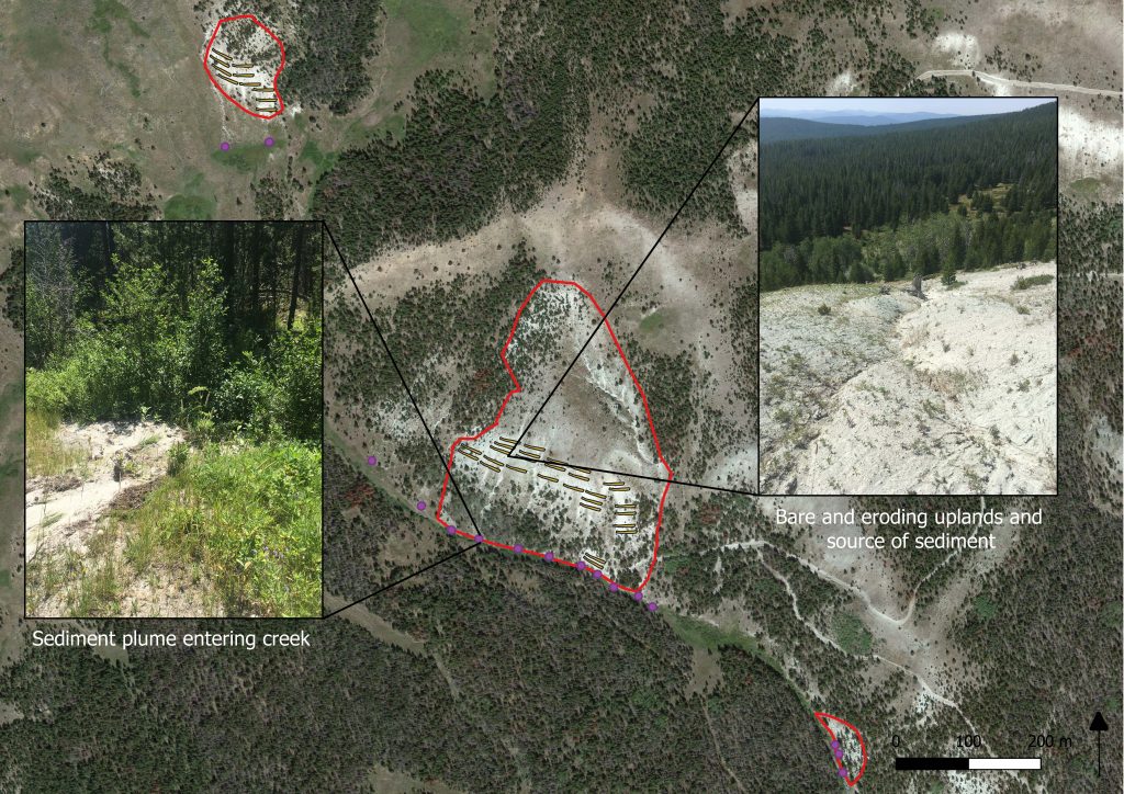
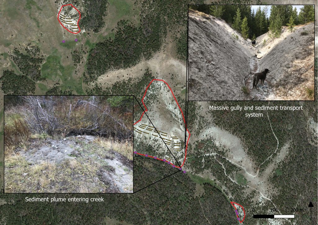
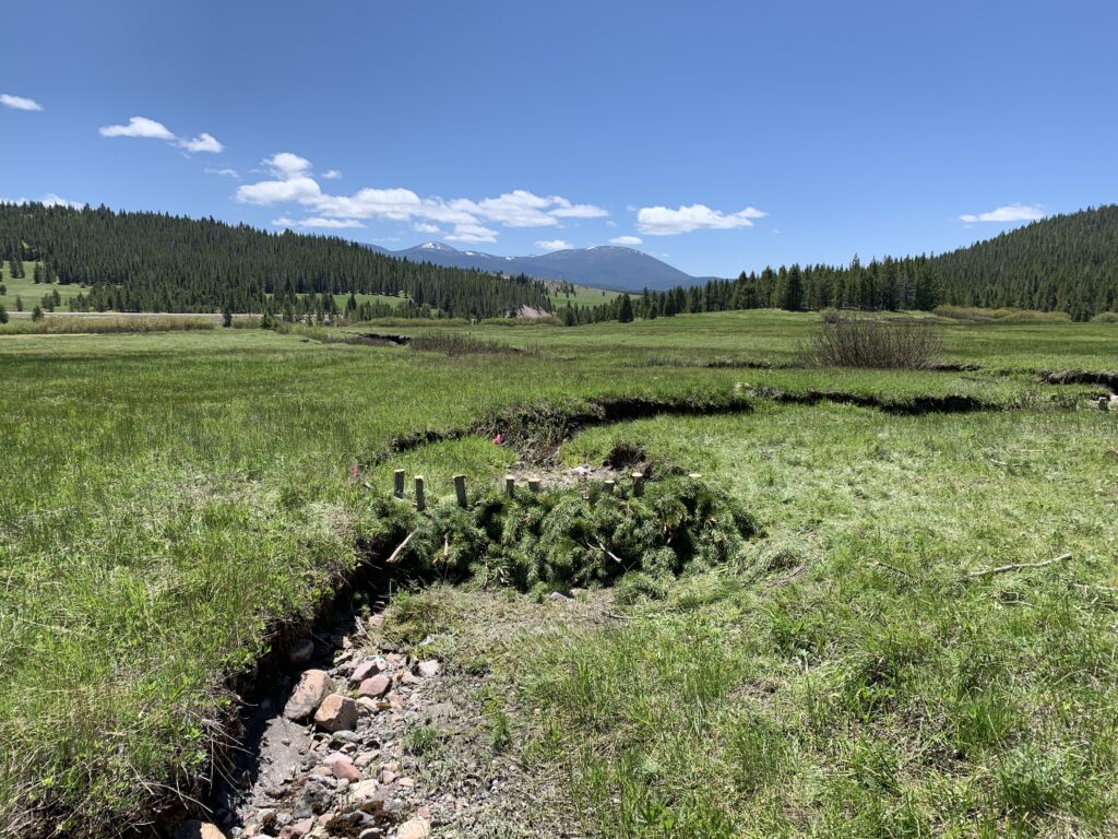
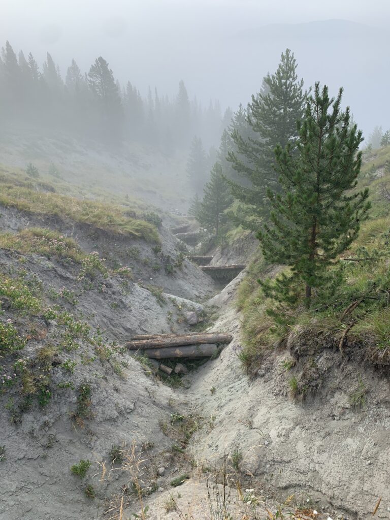
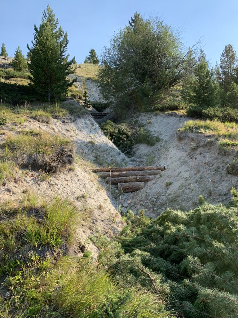
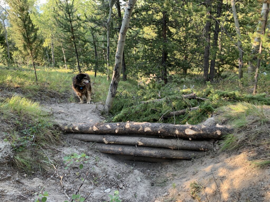
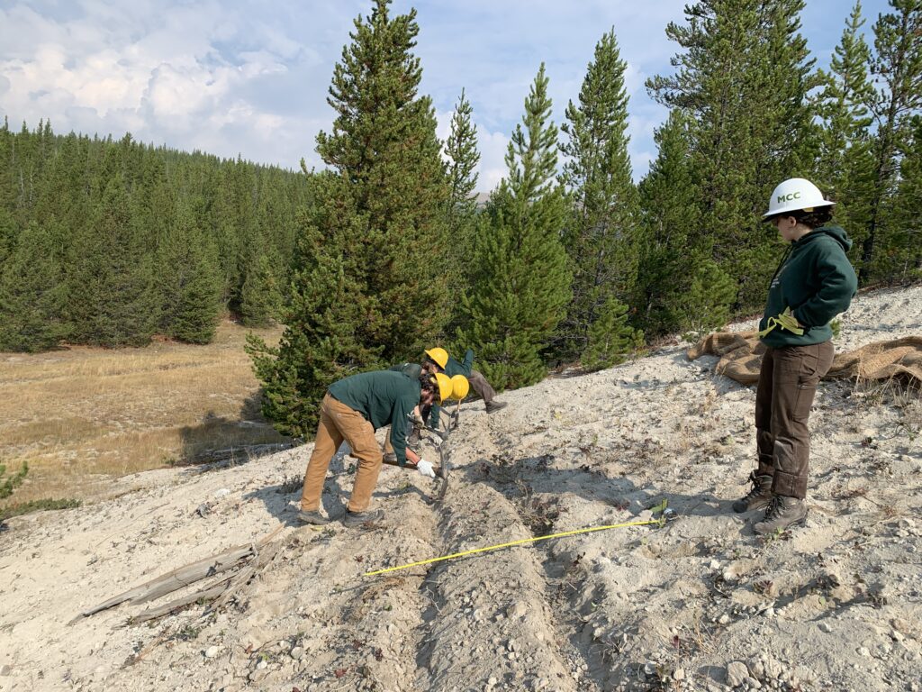
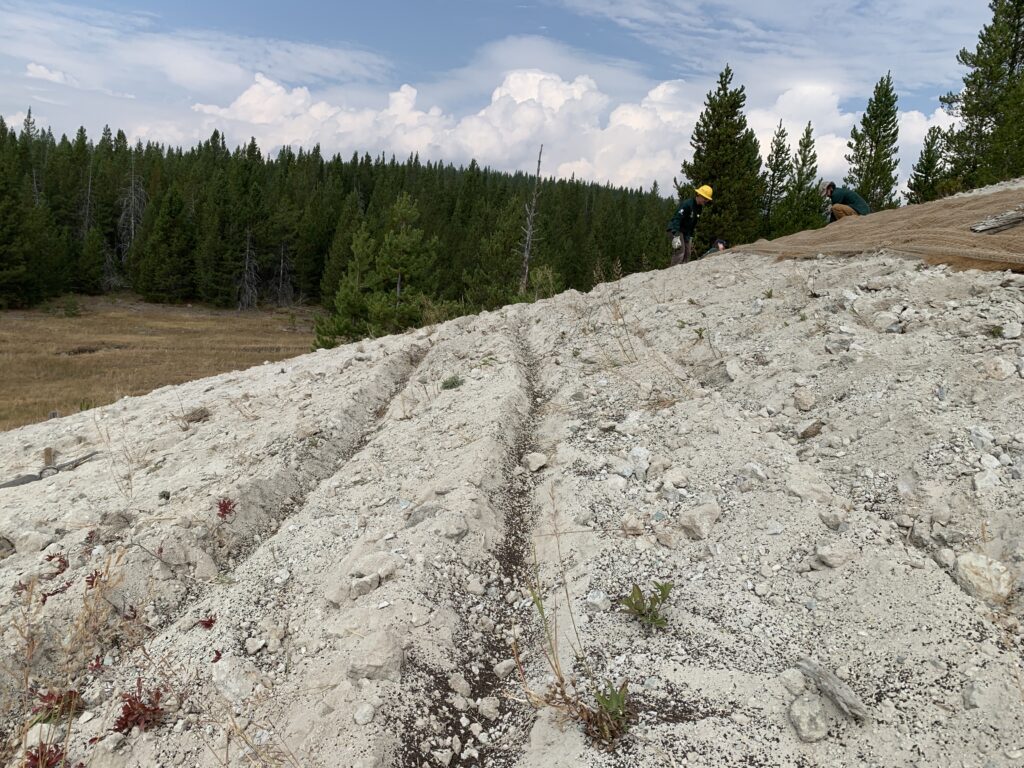
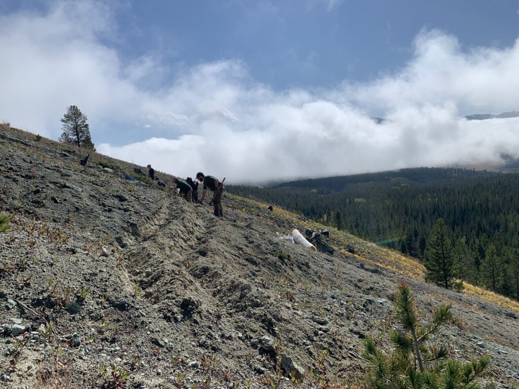
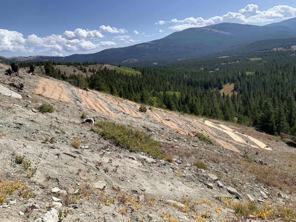
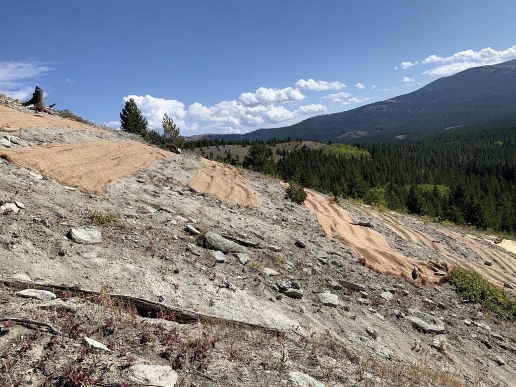
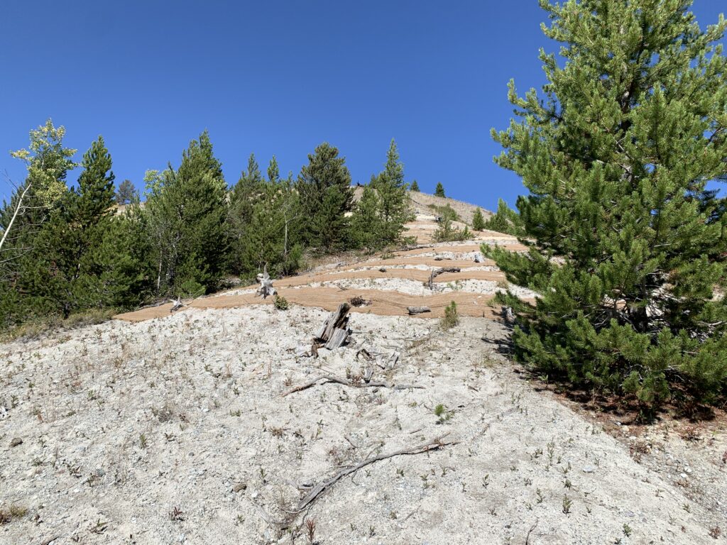
- Detain sediment in 15 active gully networks.
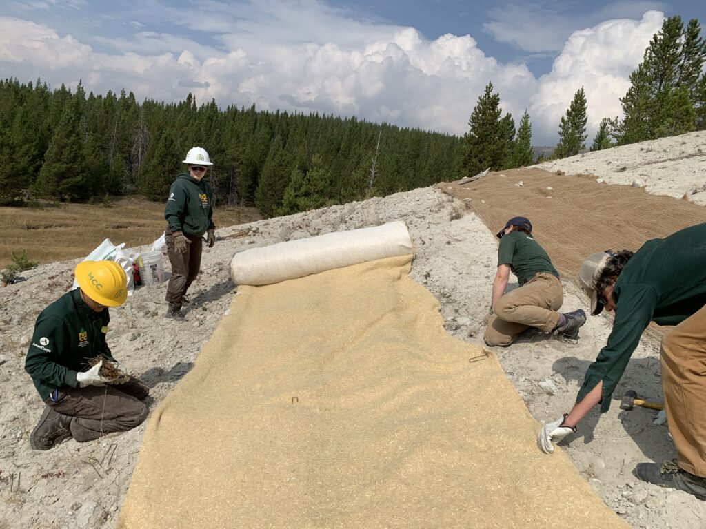
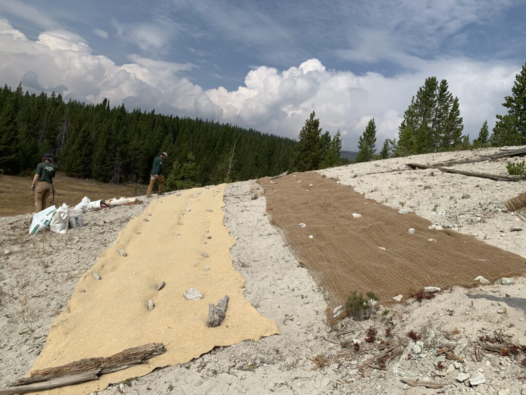
- Establish vegetation on 25 acres of upland slopes to prevent sheet erosion.
- Reconnect 11 acres of floodplain to surface water.
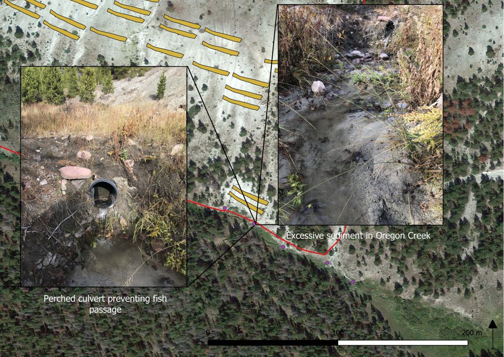
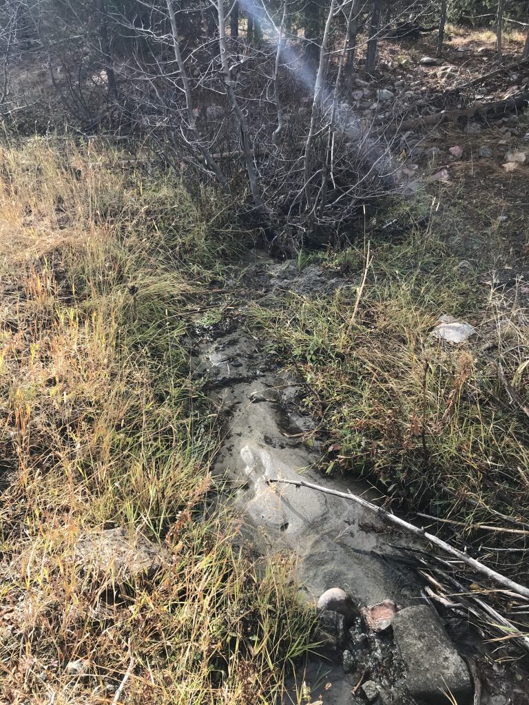
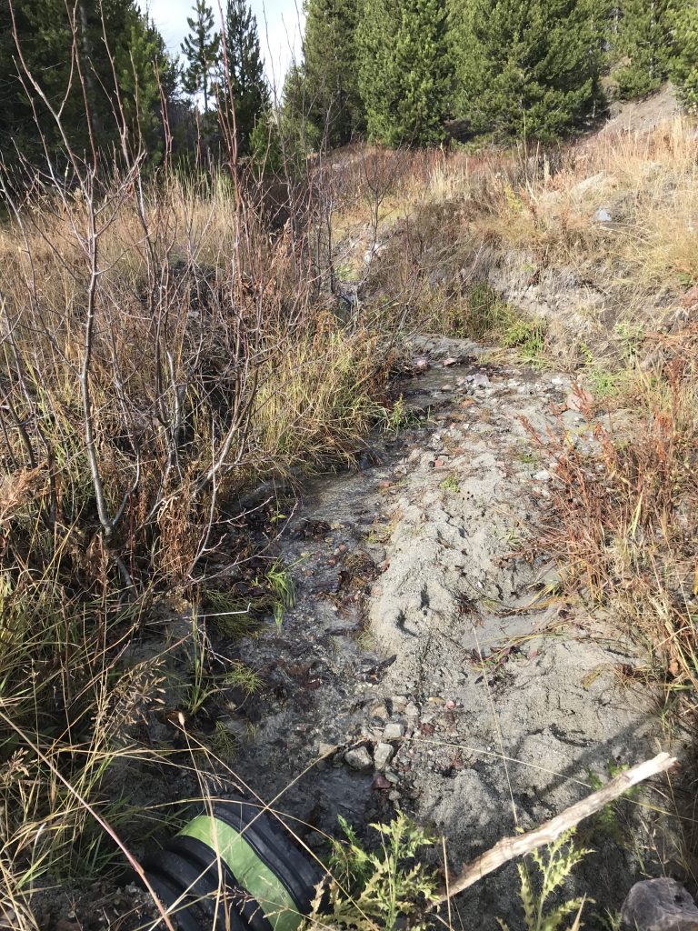
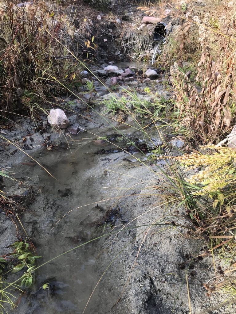
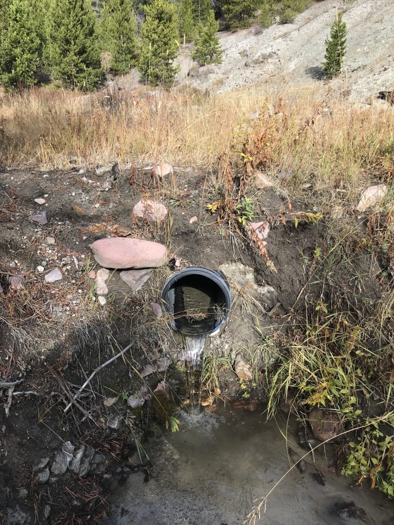
- Remove a failed culvert, impeding fish passage to approximately .5 miles of Oregon Creek headwaters
The project achieved several resource improvements, including improving water quality by reducing upland sediment entering Oregon Creek, creating conditions for self-perpetuating vegetative growth and soil formation processes in the uplands, expanded riparian and wetland buffers to retain sediment on the landscape and fully connected the stream for optimal fish passage and stream connectivity.
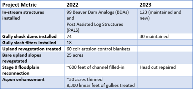
Major project accomplishments include:
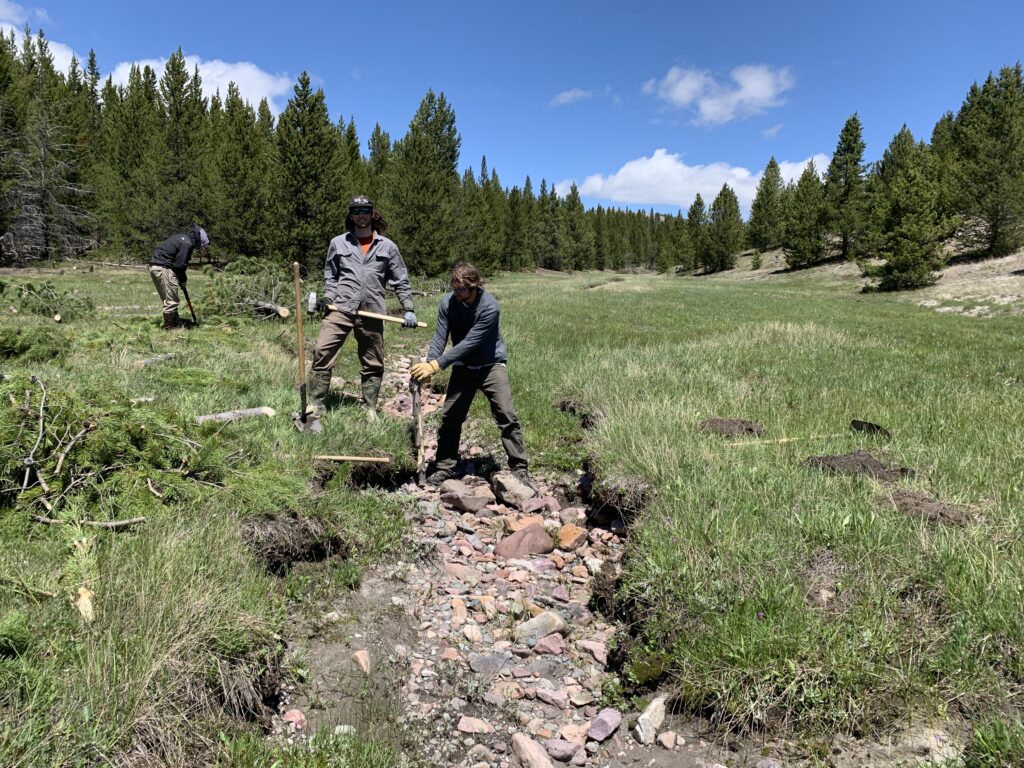
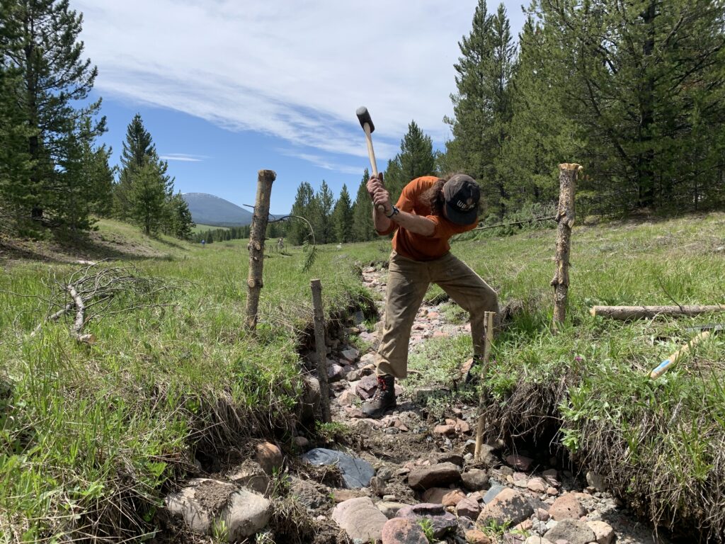
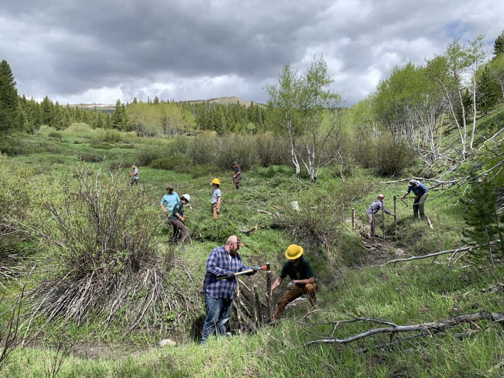
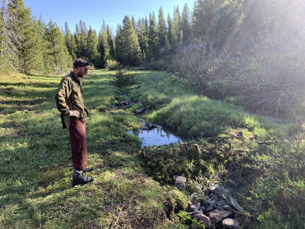
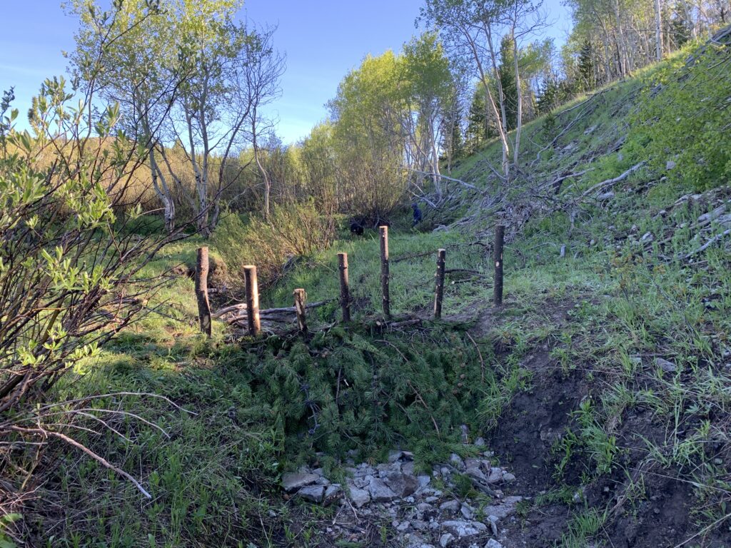
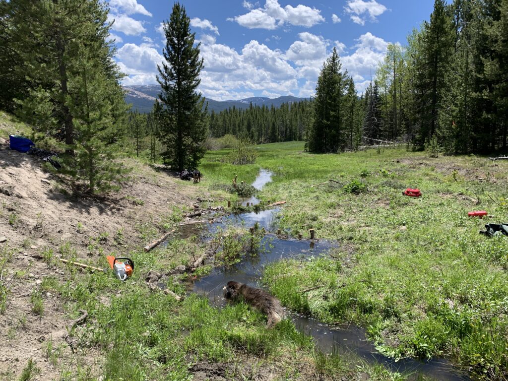
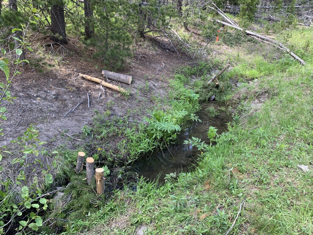
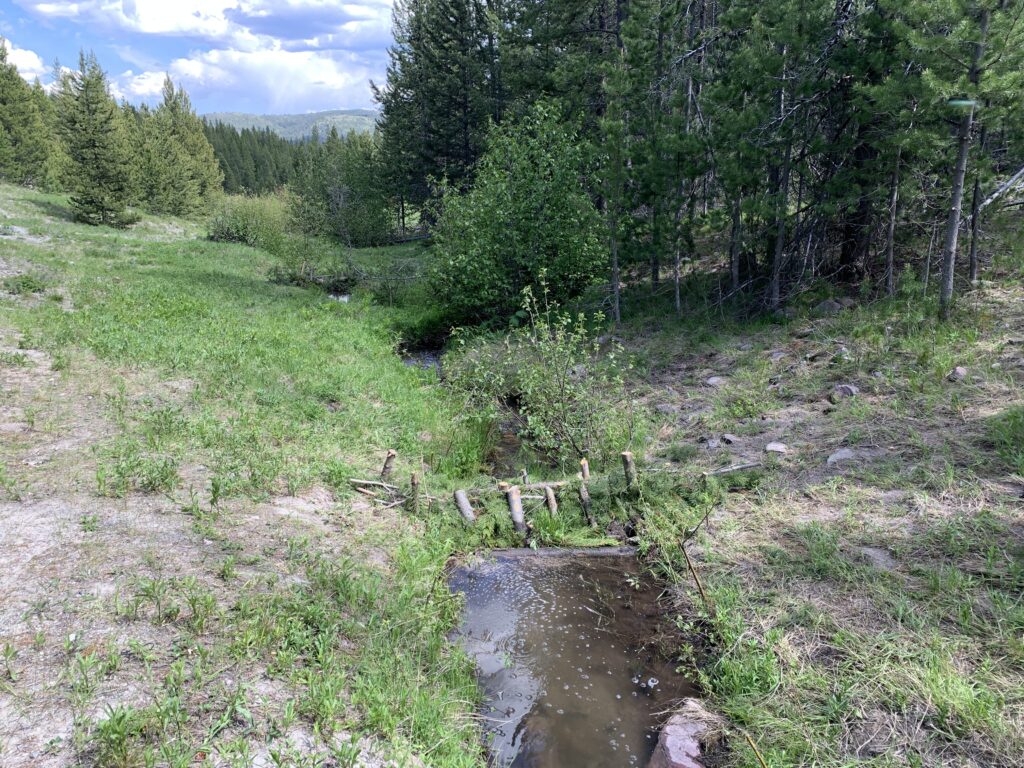
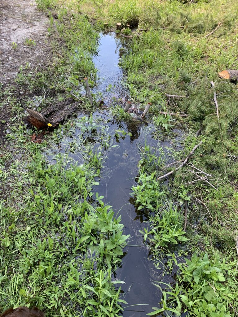
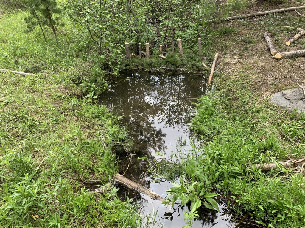
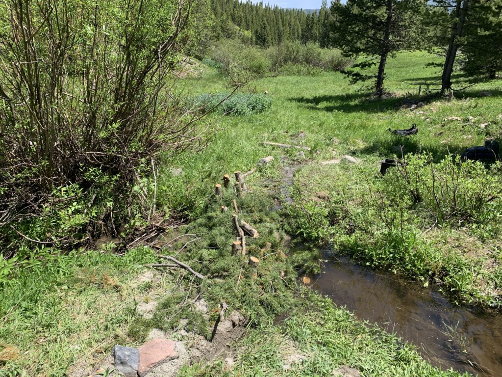
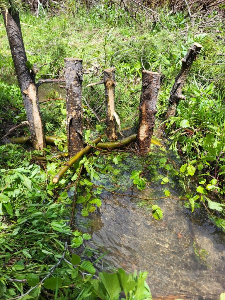
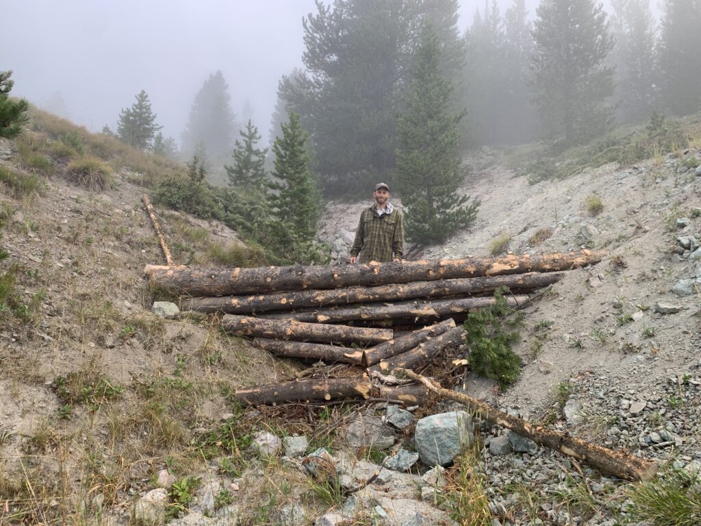
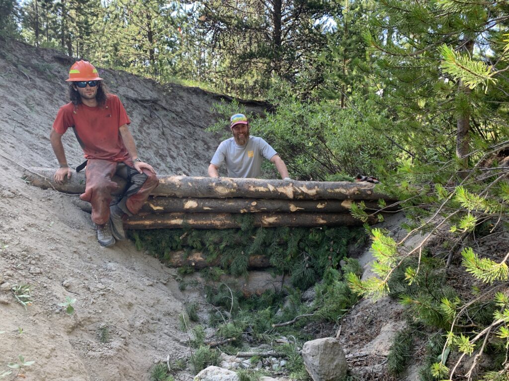
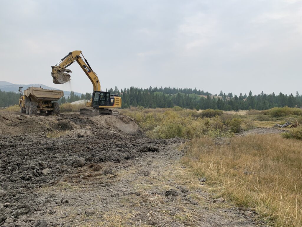
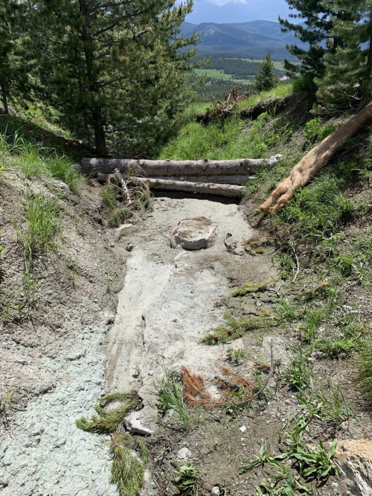
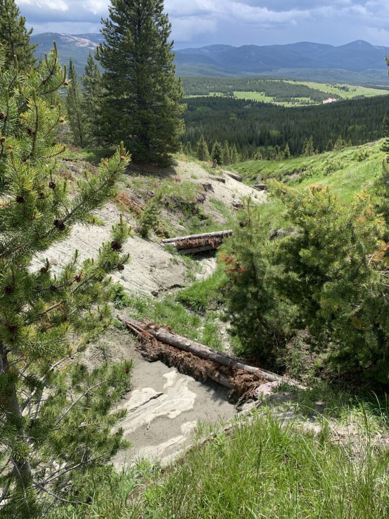
- Installation and maintenance of 123 in-stream structures (beaver dam analogs (BDAs)/post-assisted log structures (PALS)) to capture sediment in the channel and on the floodplain.
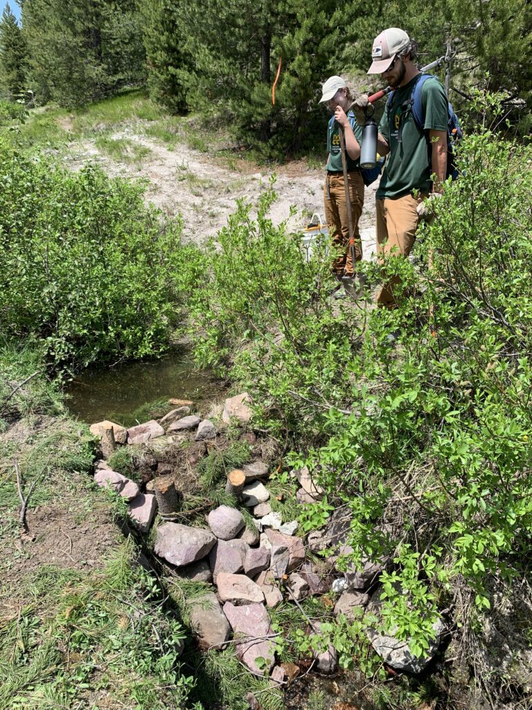
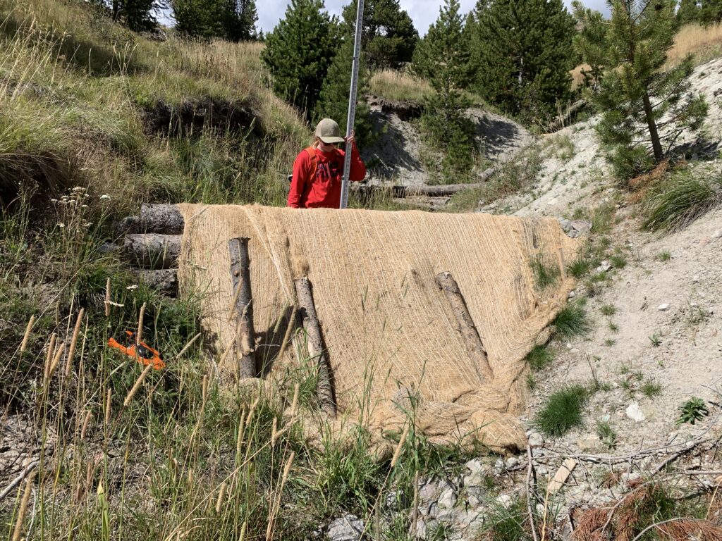
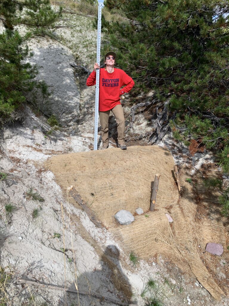
- Installation and maintenance of 74 gully check dams and 18 gully slash filters in the gully networks to capture eroding upland sediment.
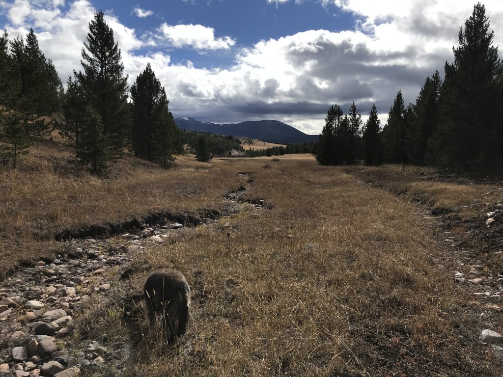
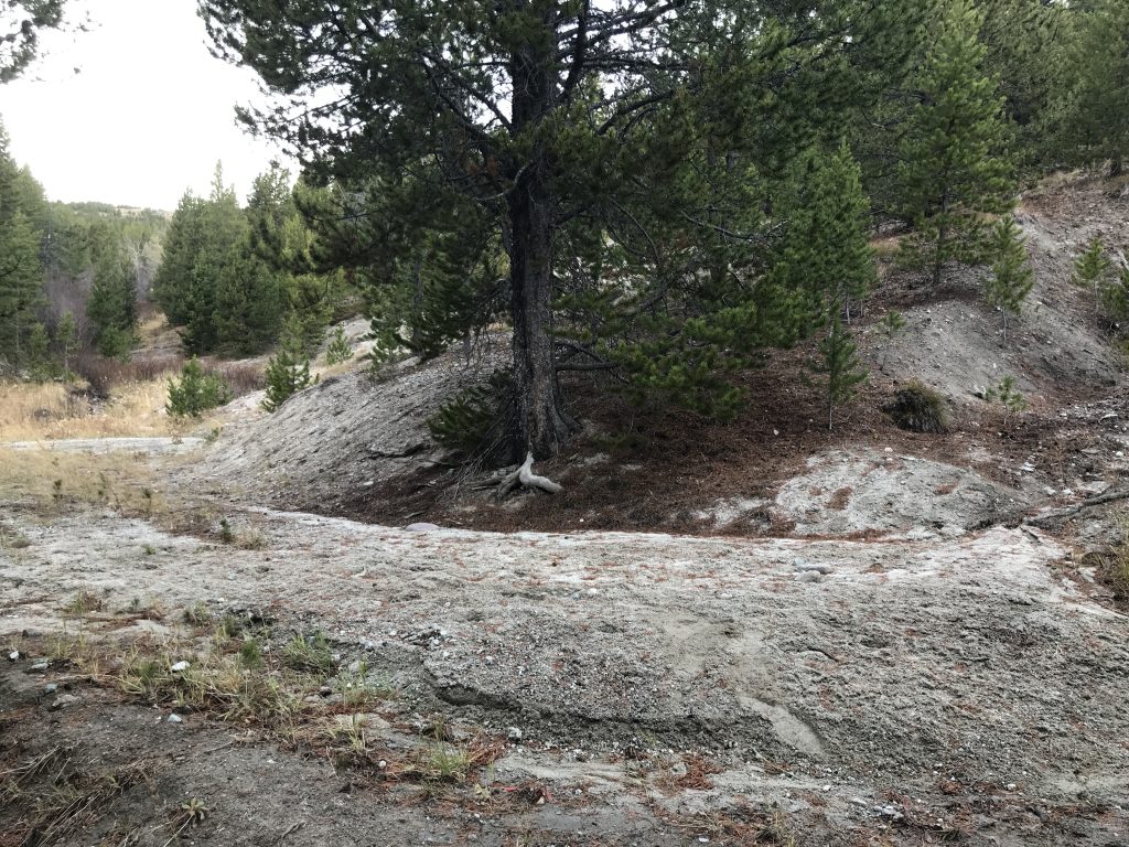
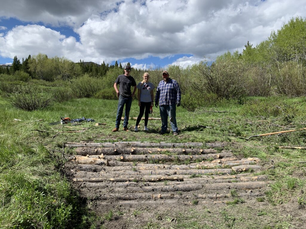
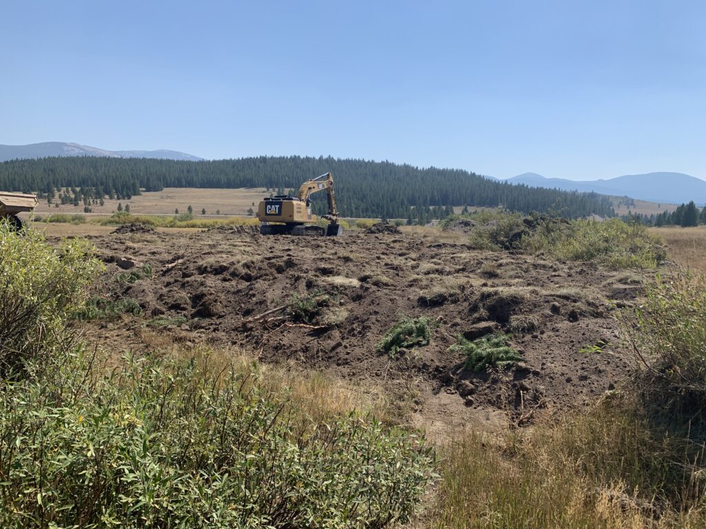
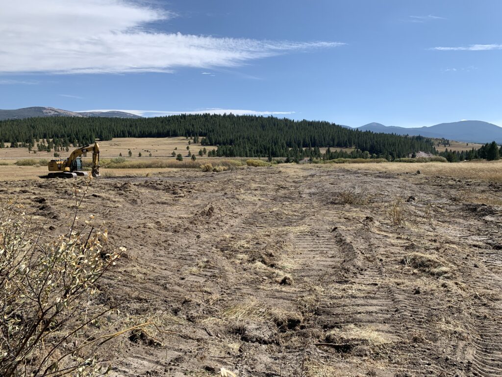
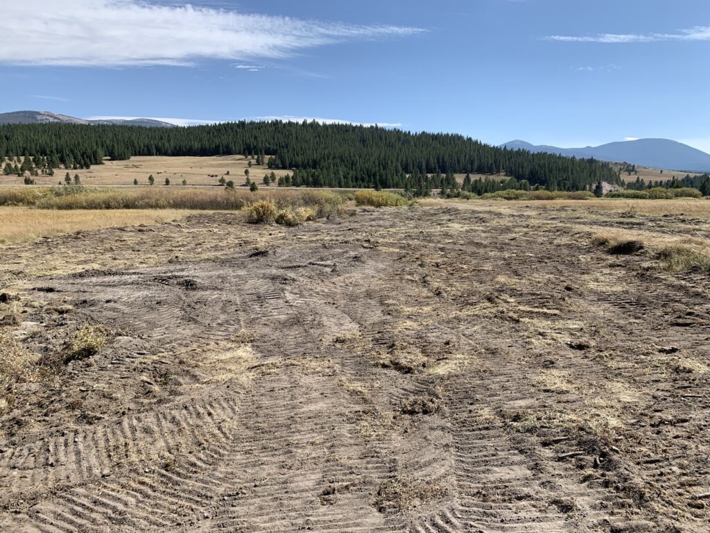
- Approximately 600 ft of straightened and incised channel filled in and re-established to reconnect 11 aces of floodplain (“Stage 0” component).
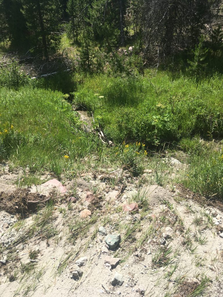
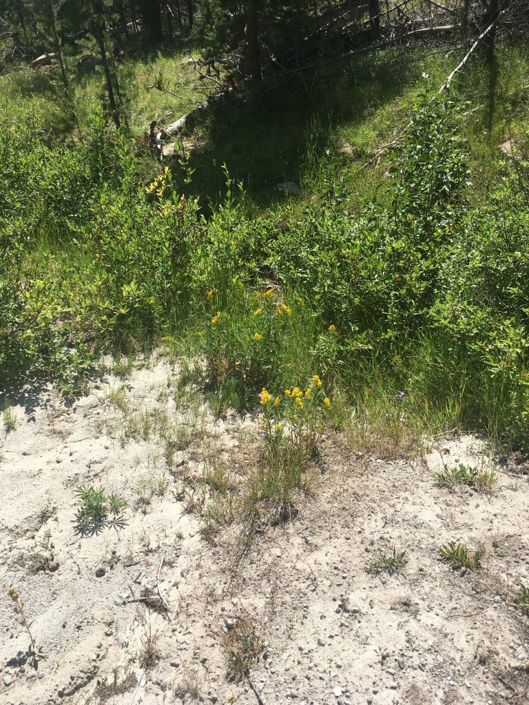
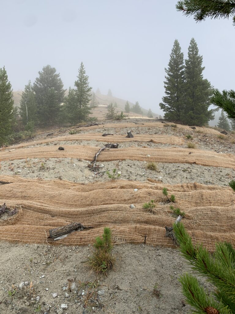
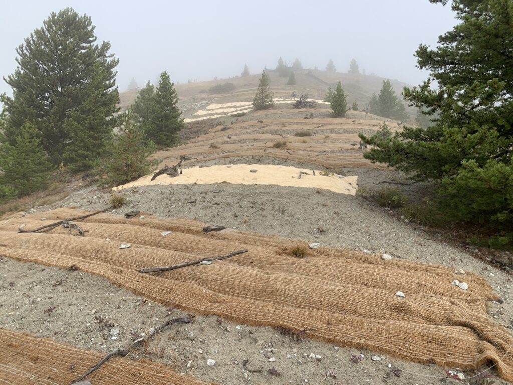
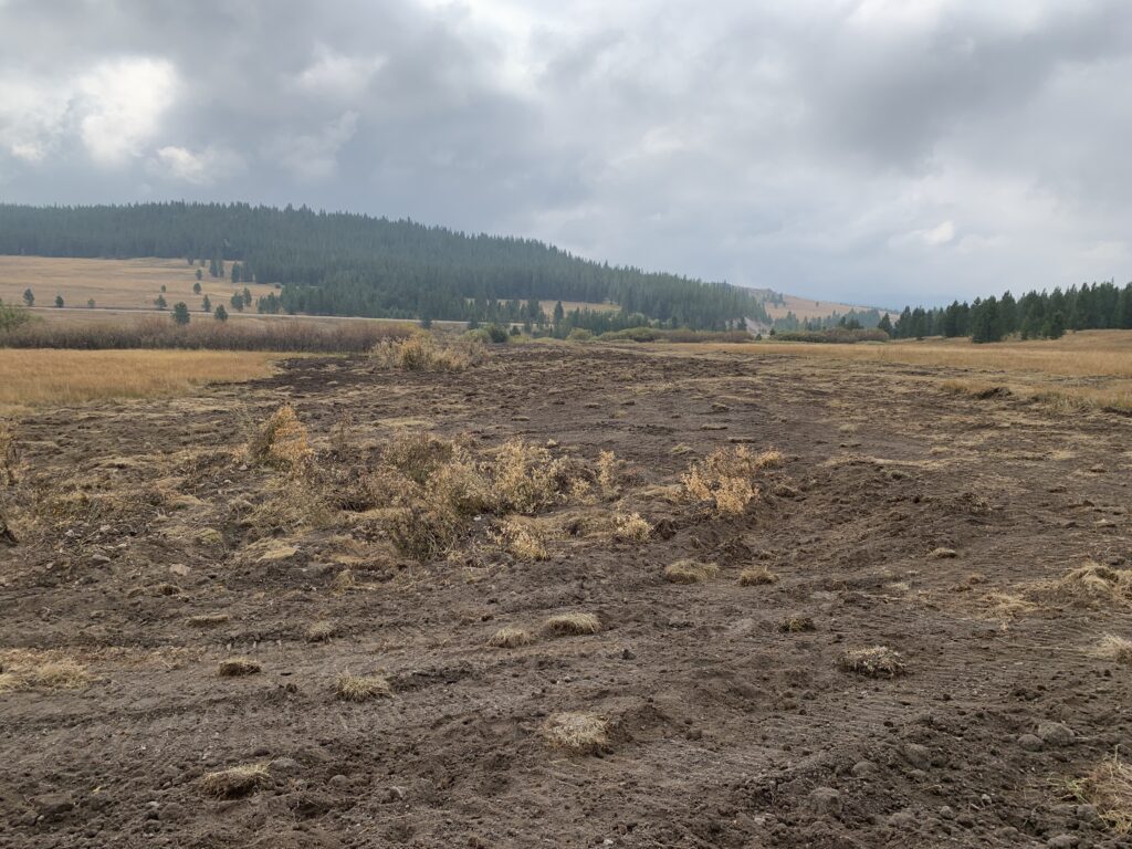
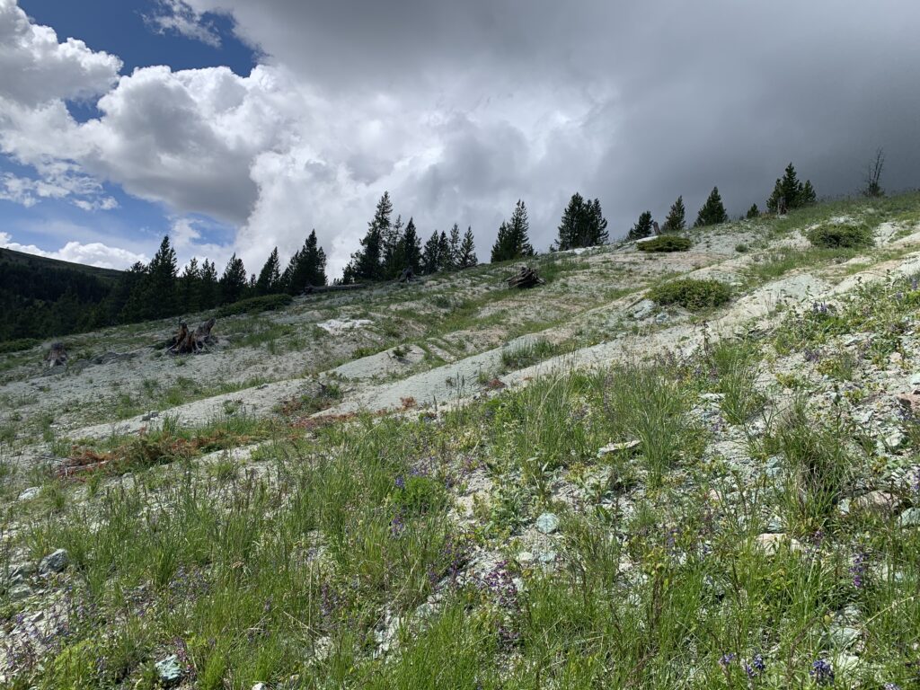
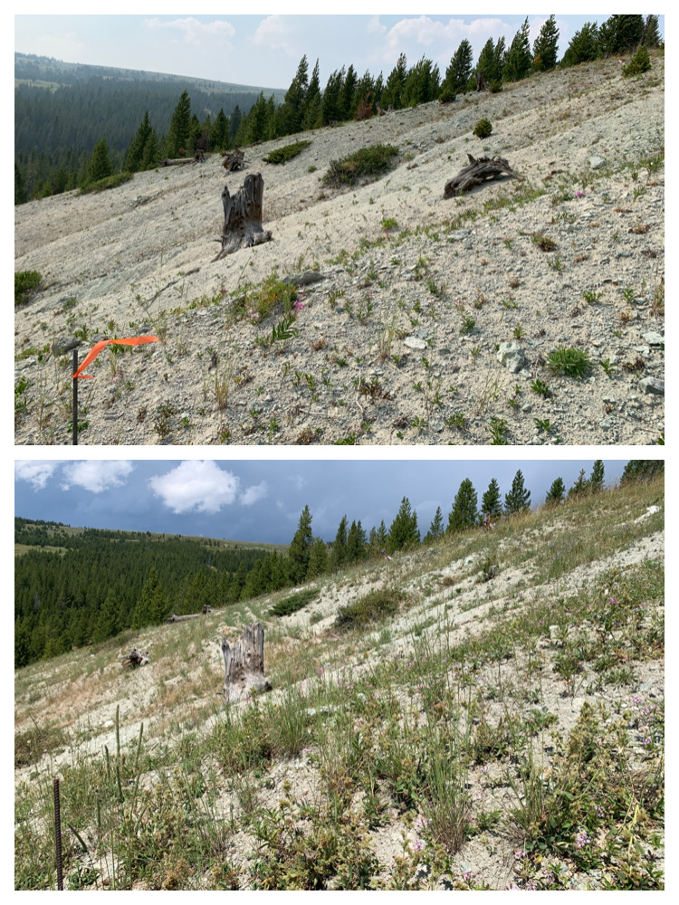
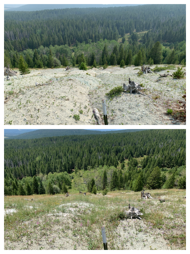
- 25 bare and eroding acres revegetated (seeded) and fertilized by hand and by helicopter.
- Removal of a failed culvert, reconnecting approximately .5 miles of Oregon Creek headwaters.
- 30 acres of aspen enhancement and 8,300 linear feet of gullies filled with slash and wood.
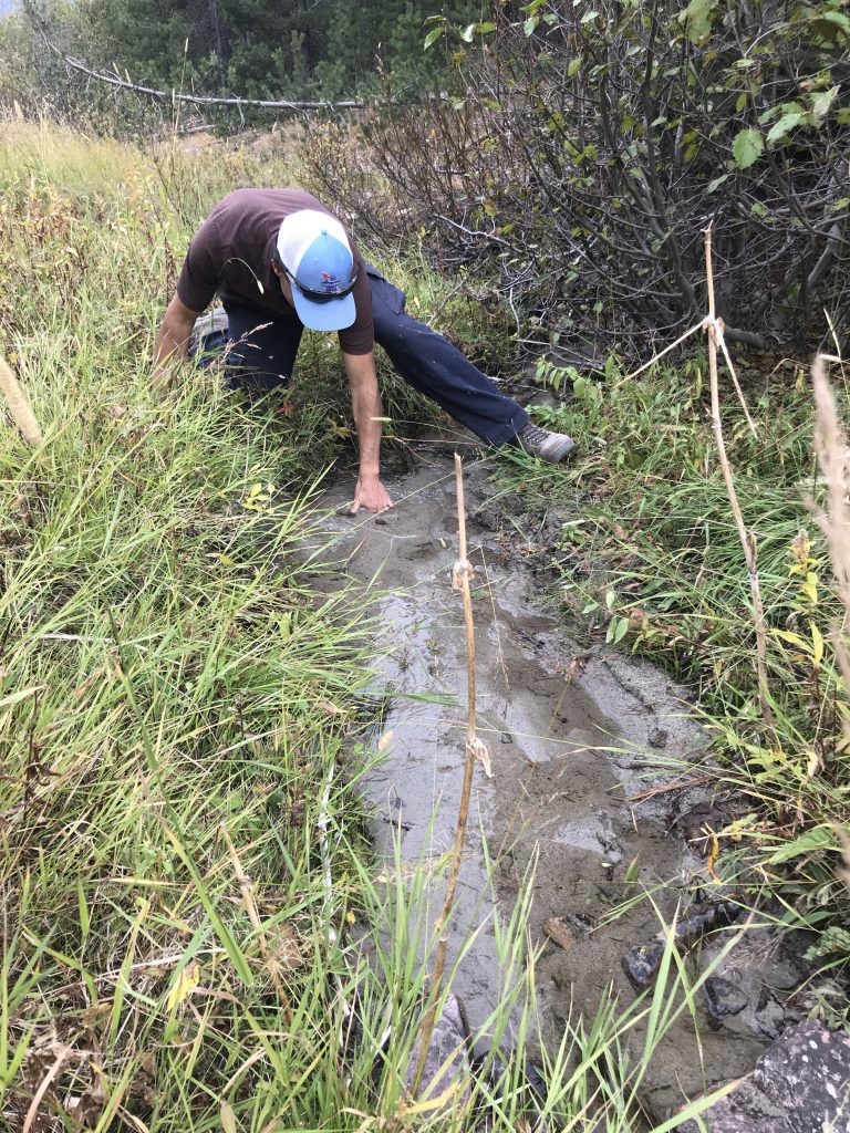
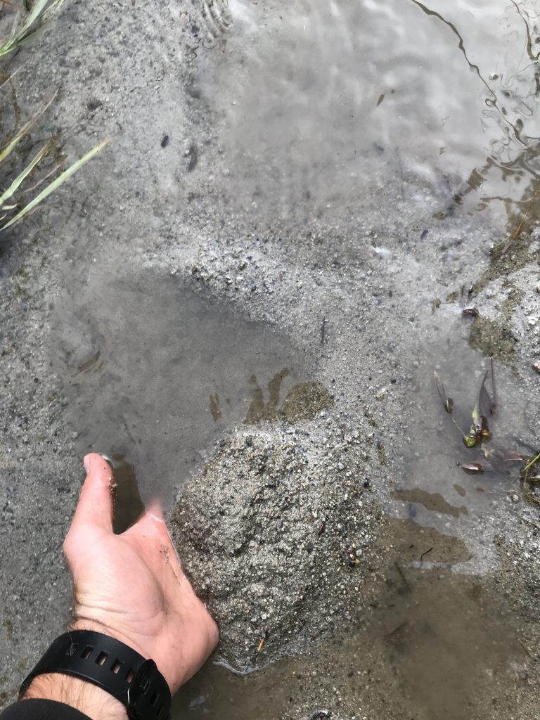
Project monitoring has demonstrated qualitative and quantitative improvements in the resource.
Gully check structures captured 43 tons of sediment in the first year after implementation and have an installed capacity of another 27 tons. Upland vegetation cover on bare slopes increased and Oregon Creek’s lower reach is no longer channelized.
The project manager for the restoration work was the BHWC. The BHWC is a multi-stakeholder, locally-led watershed group that supports water, wildlife, and people for the Big Hole River. In 2021, the BHWC was awarded 319 project funding by the Montana Department of Environmental Quality (DEQ) for this project. The project was in partnership with Montana Fish, Wildlife and Parks (MFWP), NRDP, and the Trout and Salmon Foundation.
The total project cost was $238,819.16.
Results
People and Organizations Involved
Natural Resource Damage Program
Montana Fish, Wildlife and Parks (landowner)
Funders
Montana Department of Environmental Quality
Contractors
Worman Forest Management
Project Documents
Upper Oregon Creek Implementation Plan
Upper Oregon Creek Monitoring Plan
Upper Oregon Creek Restoration Project Final Report
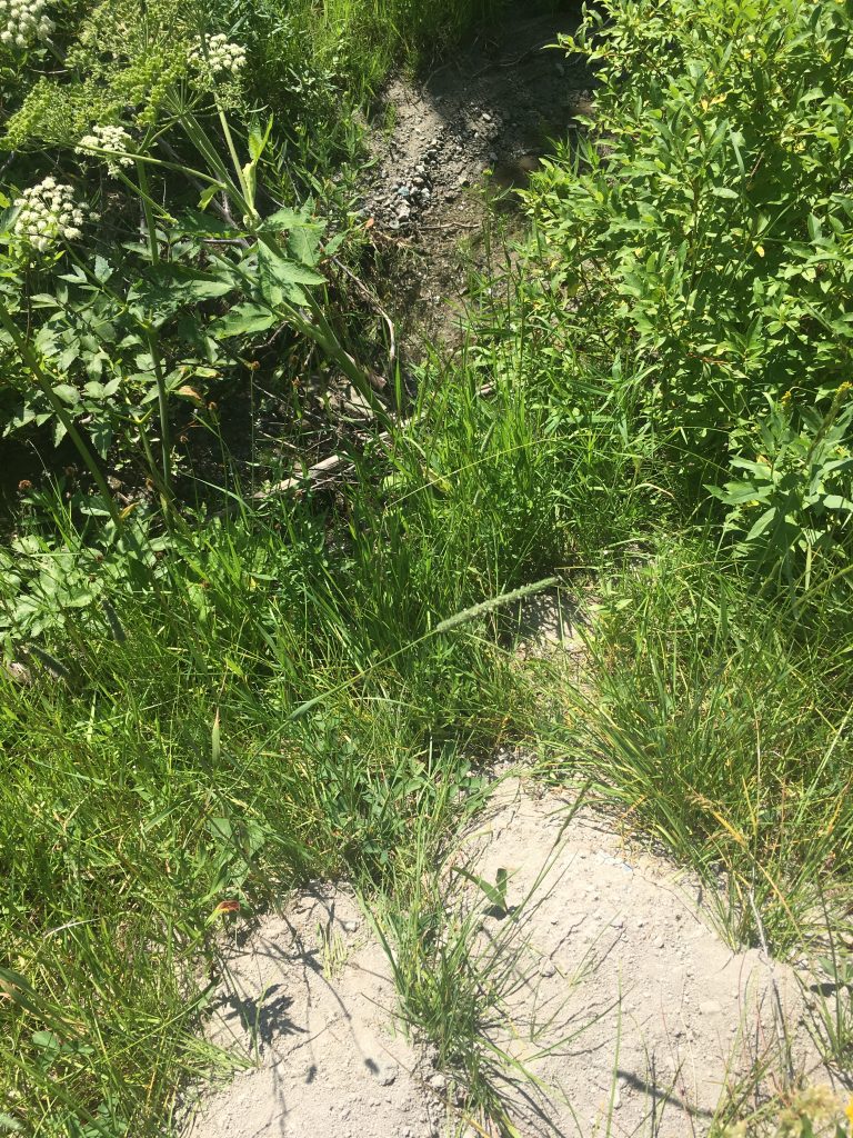
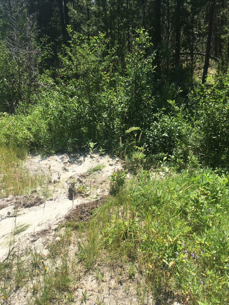
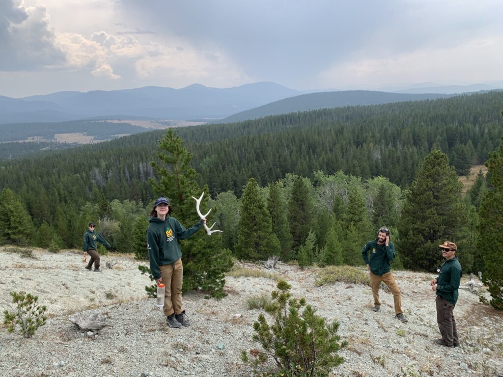
Project Photos
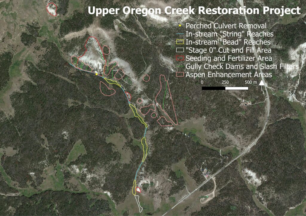
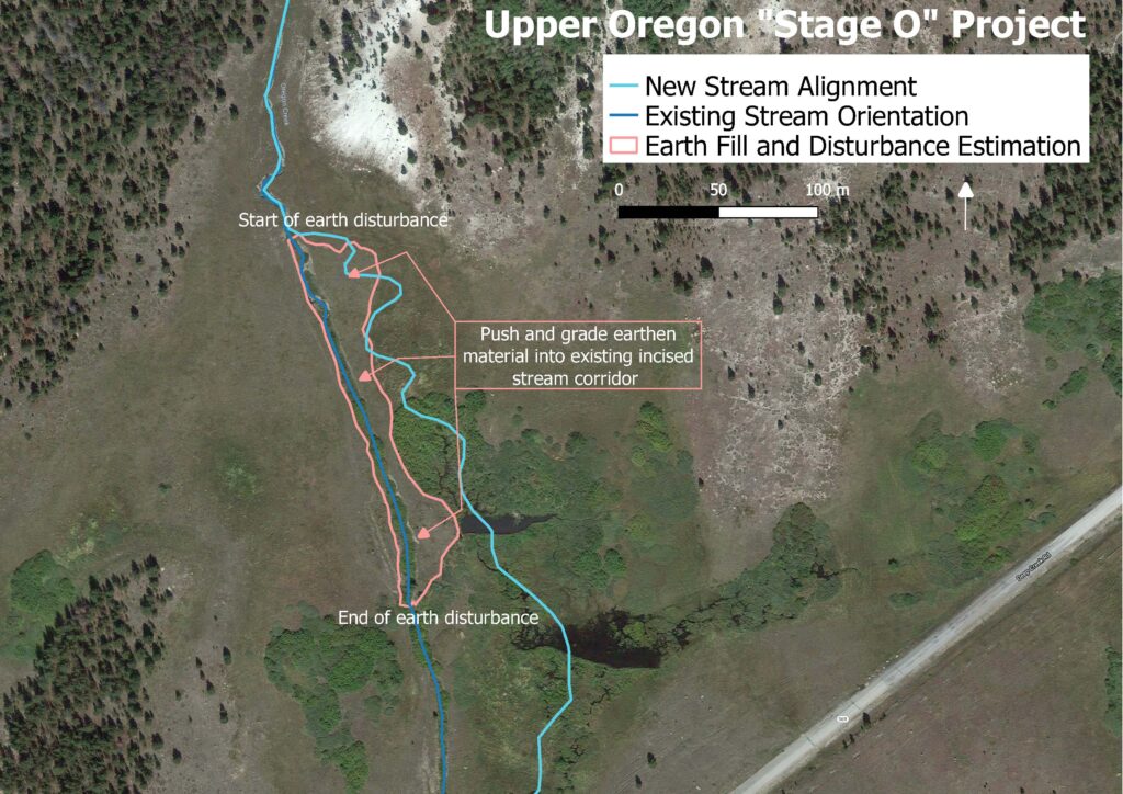
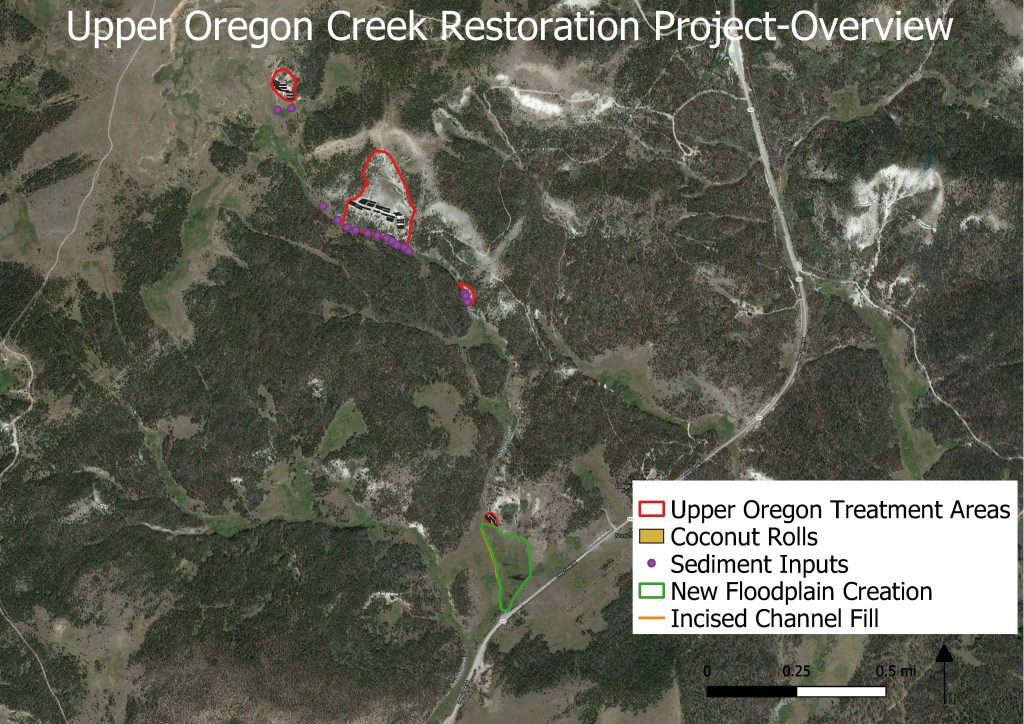


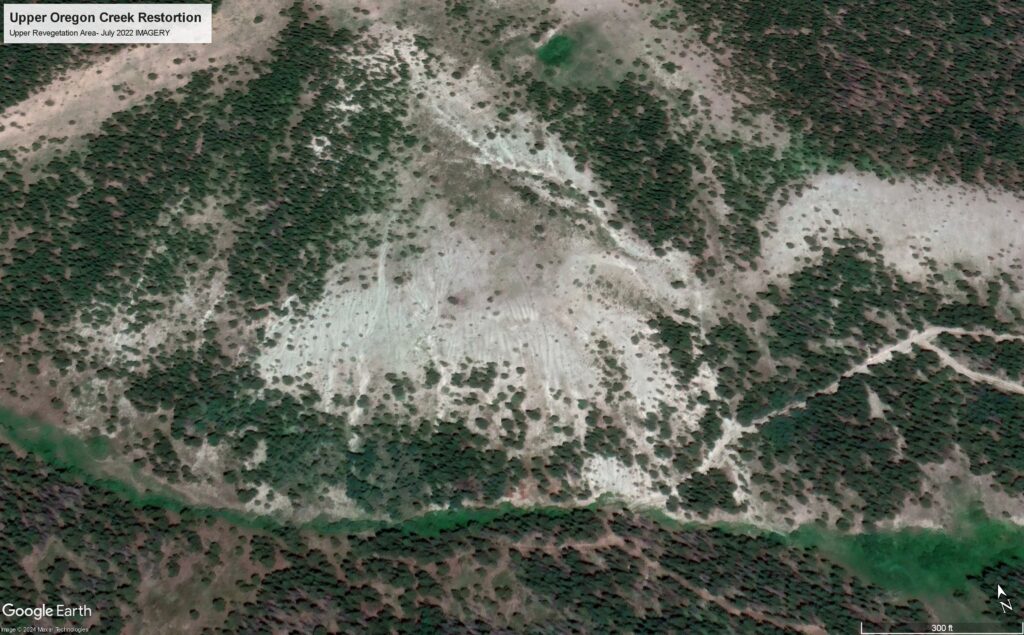
Project MAP
Status
Completed
Type
Streambank/Sedimentation